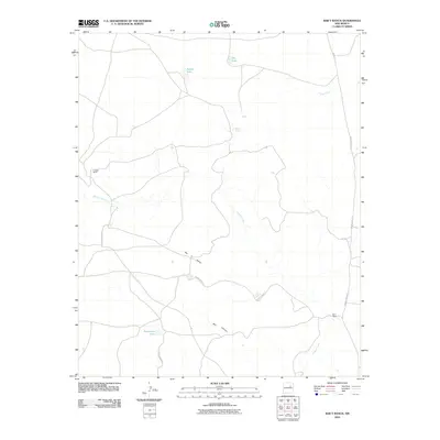
2010 Map of Bar Y Ranch
USGS Topo · Published 2010About this map
Bar Y Ranch and Cowden Ranch define the settlement pattern of this rural San Miguel County landscape. The terrain is characterized by seasonal water sources and significant topographical shifts, most notably at Bar Y Dome and the deep passage of Box Canyon. Several small bodies of water, including Puertocito Lake, Sabino Lake, and Dry Lake, serve as critical landmarks in an area dominated by cattle ranching and open range. A network of unpaved transit routes, labeled as County Road 1A, County Road 1B, and County Road 1C, provides the primary infrastructure for the region. The drainage of Esteros Creek meanders through the central and southern portions of the map, illustrating the natural water management systems that sustain the ranching operations.
Find a feature on this map
13 named features on this map. Tap any name to fly to it.
Don’t see what you’re looking for? This feature index may not catch every label — zoom into the map to look around manually.
Map Details
Editions of this 2010 Bar Y Ranch Map
This is the sole edition of this map. No revisions or reprints were ever made.
Other maps of this area

1892 · Corazon
USGS Topo · 1:125,000

1894 · Corazon
USGS Topo · 1:125,000

1954 · Santa Fe
USGS Topo · 1:250,000

1958 · Santa Fe
USGS Topo · 1:250,000

1963 · Colonias
USGS Topo · 1:24,000

1963 · Cactus Tank
USGS Topo · 1:24,000

1963 · Mesa Cherisco
USGS Topo · 1:24,000

1963 · Sacaton Draw
USGS Topo · 1:24,000
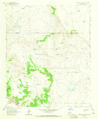
1963 · Horse Pasture Tank
USGS Topo · 1:24,000
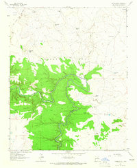
1963 · Catfish Falls
USGS Topo · 1:24,000