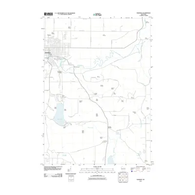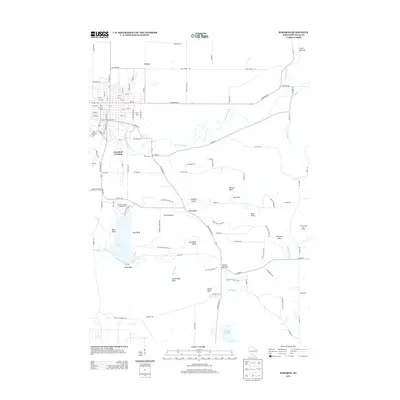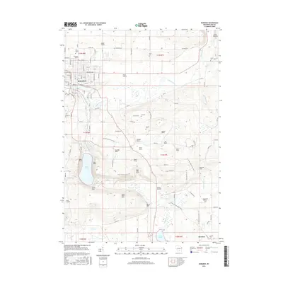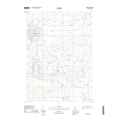
1994 Map of Baraboo
USGS Topo · Published 1999About this map
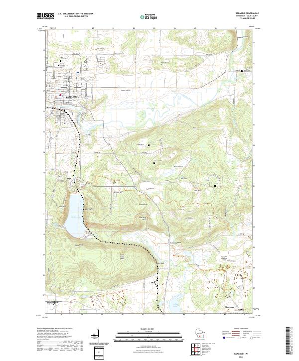
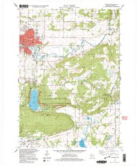
The city of Baraboo serves as the hub of this mid-1990s landscape, where the Baraboo River winds through a valley flanked by the dramatic elevations of the South Range. To the north, the International Crane Foundation and Man Mound Park represent distinct preservation efforts, while the central portion is dominated by the geological wonders of Devils Lake. This area, part of the Ice Age National Scientific Reserve, showcases steep bluffs like West Bluff and East Bluff, providing a clear view of the region's terminal moraine history.
Find a feature on this map
70 named features on this map. Tap any name to fly to it.
Don’t see what you’re looking for? This feature index may not catch every label — zoom into the map to look around manually.
Map Details
Editions of this 1994 Baraboo Map
This is the sole edition of this map. No revisions or reprints were ever made.
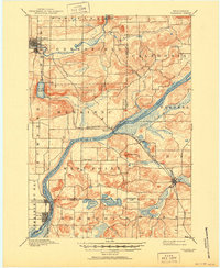
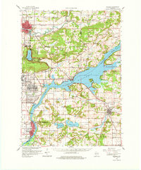
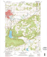
Historical Maps of Baraboo Through Time
10 maps found