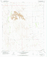
1965 Map of Baragan Mtn
USGS Topo · Published 1978About this map
Baragan Mountain rises as the central landmark of this arid landscape in Yuma County, surrounded by a complex network of ephemeral drainage systems. Surveyed in the mid-1960s, the map reveals a terrain where water management is critical, evidenced by the dispersed Well and Wells labels across the flats. The Hyder Valley dominates the eastern portion of the sheet, providing a relatively level corridor for transport and seasonal water flow. Human activity is defined by long-distance transit, with the Palomas Harquahala Road cutting north-south through the western desert while the Southern Pacific railroad skirts the southern edge. The naming of various washes, such as Red Raven Wash, Clanton Wash, and Deadman Wash, suggests the importance of these seasonal landmarks for navigation and local history in a territory where permanent landmarks are few and far between.
Find a feature on this map
12 named features on this map. Tap any name to fly to it.
Don’t see what you’re looking for? This feature index may not catch every label — zoom into the map to look around manually.
Map Details
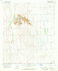
Editions of this 1965 Baragan Mtn Map
2 editions found
Other maps of this area

1927 · Hyder
USGS Topo · 1:62,500

1929 · Aztec
USGS Topo · 1:62,500

1930 · Stoval
USGS Topo · 1:62,500

1930 · Hyder
USGS Topo · 1:62,500

1942 · Vicksburg
USGS Topo · 1:250,000

1950 · Stoval
USGS Topo · 1:62,500

1950 · Aztec
USGS Topo · 1:62,500

1953 · Ajo
USGS Topo · 1:250,000

1954 · Phoenix
USGS Topo · 1:250,000

1957 · Ajo
USGS Topo · 1:250,000