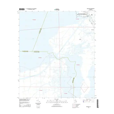
2015 Map of Barataria
USGS Topo · Published 2015About this map
The low-lying wetlands of Jefferson Parish are dominated by the winding course of the Intracoastal Waterway and the expansive waters of Lake Salvador. The settlement of Jean Lafitte and the adjacent Barataria are situated along the eastern bank of Bayou Cutler, protected by a network of levees and bounded by the Jean Lafitte National Historical Park and Preserve. Local history is preserved in sites like Fleming Cem near Isle Bonne and Saint Anthony Cem further south.
Find a feature on this map
28 named features on this map. Tap any name to fly to it.
Don’t see what you’re looking for? This feature index may not catch every label — zoom into the map to look around manually.
Map Details
Editions of this 2015 Barataria Map
This is the sole edition of this map. No revisions or reprints were ever made.
Other maps of this area

1891 · Hahnville
USGS Topo · 1:62,500

1891 · New Orleans
USGS Topo · 1:62,500

1892 · Barataria
USGS Topo · 1:62,500

1892 · Cut-Off
USGS Topo · 1:62,500

1932 · New Orleans SE
USGS Topo · 1:31,680

1932 · New Orleans SW
USGS Topo · 1:31,680

1939 · Cut-Off
USGS Topo · 1:62,500
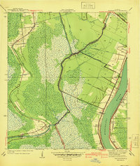
1940 · Bertrandville
USGS Topo · 1:31,680

1941 · Cut-Off
USGS Topo · 1:62,500

1941 · Barataria
USGS Topo · 1:62,500