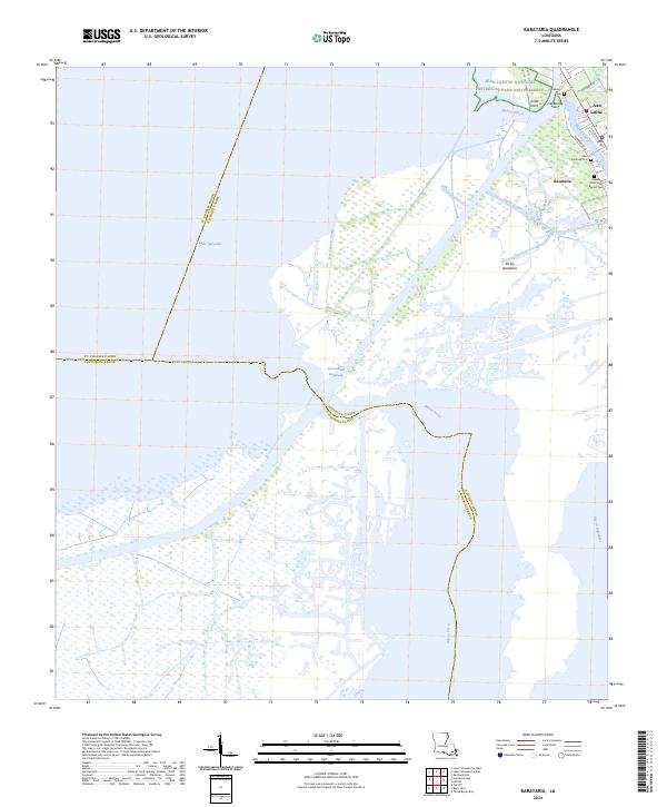
2024 Map of Barataria
USGS Topo · Published 2024About this map
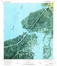
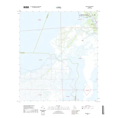
Jean Lafitte National Historical Park and Preserve anchors the northeast corner of this coastal landscape, where the settlements of Jean Lafitte and Barataria follow the natural levees of Bayou Villars and Isle Bonne. The community structure here is defined by historical lineage, evidenced by the Fleming Cem, Saint Anthony Cem, and Greater Saint John Baptist Cem which serve these bayou-side populations.
Find a feature on this map
30 named features on this map. Tap any name to fly to it.
Don’t see what you’re looking for? This feature index may not catch every label — zoom into the map to look around manually.
Map Details
Editions of this 2024 Barataria Map
This is the sole edition of this map. No revisions or reprints were ever made.
Historical Maps of Jean Lafitte Through Time
10 maps found
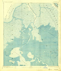
1892 Barataria
Jefferson Parish, LA

1941 Barataria
Jefferson Parish, LA
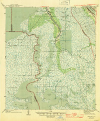
1944 Barataria
Jefferson Parish, LA
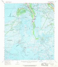
1962 Barataria
Jefferson Parish, LA
1973 Barataria
Jefferson Parish, LA
2012 Barataria
Jefferson Parish, LA
2015 Barataria
Jefferson Parish, LA
2018 Barataria
Jefferson Parish, LA
2020 Barataria
Jefferson Parish, LA
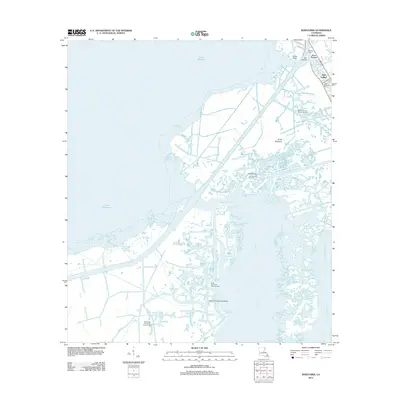
2024 Barataria
Jefferson Parish, LA