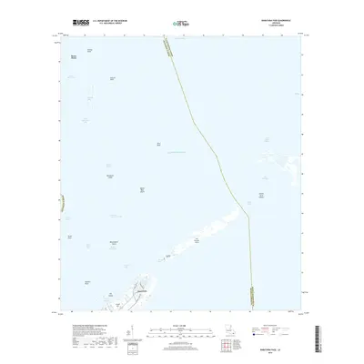
2018 Map of Barataria Pass
USGS Topo · Published 2018About this map
Grand Isle stands as the primary residential hub on this coastal Louisiana survey, where local streets like Pamela Blvd and Admiral Craik Dr meet the waters of Bayou Rigaud. The map details a shifting shoreline of barrier islands and vital maritime passages, including Barataria Pass and Pass Abel, which separate the Gulf of Mexico from the interior Barataria Bay.
Find a feature on this map
34 named features on this map. Tap any name to fly to it.
Don’t see what you’re looking for? This feature index may not catch every label — zoom into the map to look around manually.
Map Details
Editions of this 2018 Barataria Pass Map
This is the sole edition of this map. No revisions or reprints were ever made.
Other maps of this area

1892 · Cheniere Caminada
USGS Topo · 1:62,500

1892 · Creole
USGS Topo · 1:62,500

1893 · Fort Livingston
USGS Topo · 1:62,500

1935 · Bay Ronquille
USGS Topo · 1:31,680

1935 · Wilkinson Bay
USGS Topo · 1:31,680

1945 · New Orleans
USGS Topo · 1:250,000

1947 · Caminada Pass
USGS Topo · 1:31,680

1947 · Bay Ronquille
USGS Topo · 1:31,680
1947 · Wilkinson Bay
USGS Topo · 1:31,680
1948 · Fort Livingston
USGS Topo · 1:62,500