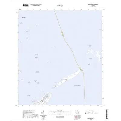
2024 Map of Barataria Pass
USGS Topo · Published 2024About this map
Grand Isle serves as the focal point of this coastal survey, where residential streets like Admiral Craik Dr and Amaris Blvd meet the edge of the Gulf of Mexico. The landscape is defined by the complex hydrology of the Mississippi River Delta, showing the critical passage of Barataria Pass between the main island and Isle Grande Terre. This area is a patchwork of shifting shoals and named marshes, including Queen Bess Island and Mendicant Island, which illustrate the ongoing evolution of the Louisiana shoreline. The map documents the boundary between Jefferson Parish and Plaquemines Parish as it cuts across the open waters of Barataria Bay. Local infrastructure is concentrated along Bayou Rigaud, supporting the maritime activities and coastal life of this barrier island community. The presence of the Barataria Bay Waterway underscores the region's importance for navigation and commercial access to the interior wetlands.
Find a feature on this map
38 named features on this map. Tap any name to fly to it.
Don’t see what you’re looking for? This feature index may not catch every label — zoom into the map to look around manually.
Map Details
Editions of this 2024 Barataria Pass Map
This is the sole edition of this map. No revisions or reprints were ever made.
Other maps of this area

1892 · Cheniere Caminada
USGS Topo · 1:62,500

1892 · Creole
USGS Topo · 1:62,500

1893 · Fort Livingston
USGS Topo · 1:62,500

1935 · Bay Ronquille
USGS Topo · 1:31,680

1935 · Wilkinson Bay
USGS Topo · 1:31,680

1945 · New Orleans
USGS Topo · 1:250,000

1947 · Caminada Pass
USGS Topo · 1:31,680

1947 · Bay Ronquille
USGS Topo · 1:31,680
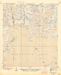
1947 · Wilkinson Bay
USGS Topo · 1:31,680
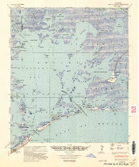
1948 · Fort Livingston
USGS Topo · 1:62,500