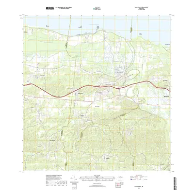
2018 Map of Barceloneta
USGS Topo · Published 2018About this map
The coastal municipality of Barceloneta and its agricultural hinterlands are showcased in this modern survey, where the Atlantic shoreline meets the karstic landscape of Puerto Rico. The town's layout is centered near the Atlantic Ocean, with a network of local roads connecting surrounding settlements like Imbéry, Tiburones, and Búfalo. A prominent transportation corridor, the Expreso Jose de Diego, bisects the region, facilitating movement between the coastal plains and the interior hills.
Find a feature on this map
29 named features on this map. Tap any name to fly to it.
Don’t see what you’re looking for? This feature index may not catch every label — zoom into the map to look around manually.
Map Details
Editions of this 2018 Barceloneta Map
This is the sole edition of this map. No revisions or reprints were ever made.
Other maps of this area
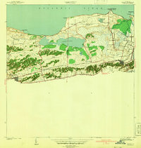
1942 · Manati
USGS Topo · 1:30,000
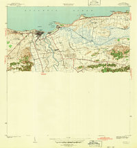
1942 · Arecibo
USGS Topo · 1:30,000
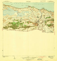
1942 · Barceloneta
USGS Topo · 1:30,000
1943 · Utuado NE
USGS Topo · 1:10,000
1946 · Barceloneta
USGS Topo · 1:30,000
1946 · Utuado
USGS Topo · 1:30,000
1946 · Ciales
USGS Topo · 1:30,000
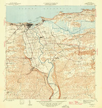
1946 · Arecibo
USGS Topo · 1:30,000
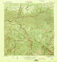
1946 · Florida
USGS Topo · 1:30,000
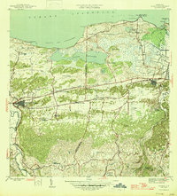
1946 · Manati
USGS Topo · 1:30,000
Featured Places
- Barceloneta
- Sector Cerro Morales, Barceloneta
- Sector Fortuna, Barceloneta
- Sector Ceiba, Manatí
- Jardines de Betania, Arecibo