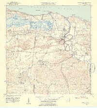
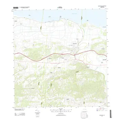
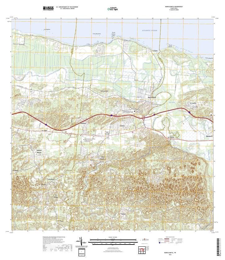
1953 Map of Barceloneta
USGS Topo · Published 1954About this map
The winding Río Grande de Manatí anchors this mid-century survey of Puerto Rico's northern coast, where the urban center of Barceloneta sits at a sharp river bend before it meets the Atlantic Ocean. The landscape transitions from the coastal wetlands of the Cienaga de Tiburones and Charco La Tembladera into the distinctive haystack hills of the interior. Transportation infrastructure reveals the era's agricultural and industrial focus, with the American RR and specialized lines like the Central Plazuela RR and Central Monserrate RR moving through the sugar-producing regions. Inland, numerous small settlements and schools such as Escuela Segunda Unidad Eugenia M de Hostos and Escuela José Cordero dot the terrain, illustrating the rural educational and community structure of the Florida Afuera and Bajura Afuera barrios during the early 1950s.
Find a feature on this map
58 named features on this map. Tap any name to fly to it.
Don’t see what you’re looking for? This feature index may not catch every label — zoom into the map to look around manually.
Map Details
Editions of this 1953 Barceloneta Map
2 editions found
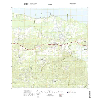
Historical Maps of Barceloneta Through Time
8 maps found

1942 Barceloneta
Barceloneta Municipio, PR

1946 Barceloneta
Barceloneta Municipio, PR
1953 Barceloneta
Barceloneta Municipio, PR
1957 Barceloneta
Barceloneta Municipio, PR
1969 Barceloneta
Barceloneta Municipio, PR
2013 Barceloneta
Barceloneta Municipio, PR
2018 Barceloneta
Barceloneta Municipio, PR
2024 Barceloneta
Barceloneta Municipio, PR
Featured Locations
- Parcelas Boca, Barceloneta
- Parcelas Loarte, Barceloneta
- Punta Palmas, Barceloneta
- Barceloneta, Barceloneta
- Sector Cerro Morales, Barceloneta