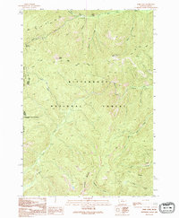
1991 Map of Bare Cone
USGS Topo · Published 1994About this map
The Old Nez Perce Trail (Pack) follows the ridgelines across this high-elevation wilderness on the Idaho-Montana border during the early 1990s. This landscape is defined by its lack of modern road infrastructure, relying instead on historical pack routes like the Old North Route, Old South Route, and Castle Rock Trail (Pack). The topography is anchored by the prominent Bare Cone and its associated Lookout Tower, a critical vantage point over the Bitterroot National Forest. The drainage network is complex, with the Nez Perce Fork and Blue Joint Creek carving deep valleys between peaks like Razorback Mountain. A small portion of the Frank Church-River of No Return Wilderness appears in the western section, emphasizing the undeveloped character of this mountain frontier.
Find a feature on this map
24 named features on this map. Tap any name to fly to it.
Don’t see what you’re looking for? This feature index may not catch every label — zoom into the map to look around manually.
Map Details
Editions of this 1991 Bare Cone Map
2 editions found
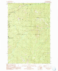
Other maps of this area

1956 · Elk City
USGS Topo · 1:250,000

1960 · Elk City
USGS Topo · 1:250,000

1960 · Painted Rocks Lake
USGS Topo · 1:62,500

1962 · Blue Joint
USGS Topo · 1:24,000

1962 · Nez Perce Peak
USGS Topo · 1:24,000

1964 · Boulder Peak
USGS Topo · 1:24,000
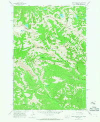
1964 · Mount Jerusalem
USGS Topo · 1:24,000

1966 · Watchtower Peak
USGS Topo · 1:24,000

1991 · Horse Creek Pass
USGS Topo · 1:24,000
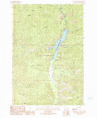
1991 · Painted Rocks Lake
USGS Topo · 1:24,000