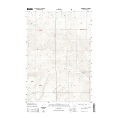
2014 Map of Bare Mountain
USGS Topo · Published 2014About this map
Silver Run Plateau dominates the high-altitude landscape of this 2014 survey within the Custer National Forest. The map documents a complex drainage system characterized by glacial features and high mountain lakes, including Silver Run Lakes and Lake Gertrude in the southwest. The terrain is defined by prominent peaks such as Bare Mtn, Burnt Mtn, and Sheep Mtn, which serve as the headwaters for numerous alpine streams. Human infrastructure is limited to primitive access routes like Forest Rte 71, highlighting the area's role as a protected wilderness. Notable water bodies such as Basin Cr Lake and Lower Basin Cr Lake illustrate the transition from the high plateau down into steep-walled drainages like W Fork Rock Cr.
Find a feature on this map
30 named features on this map. Tap any name to fly to it.
Don’t see what you’re looking for? This feature index may not catch every label — zoom into the map to look around manually.
Map Details
Editions of this 2014 Bare Mountain Map
This is the sole edition of this map. No revisions or reprints were ever made.
Other maps of this area

1898 · Granite Mountain District
USGS Topo · 1:125,000

1932 · Red Lodge No 2
USGS Topo · 1:48,000

1932 · Nye No 1
USGS Topo · 1:48,000

1954 · Billings
USGS Topo · 1:250,000

1956 · Roscoe
USGS Topo · 1:24,000

1956 · Alpine
USGS Topo · 1:62,500

1956 · Mackay Ranch
USGS Topo · 1:24,000

1956 · Mount Maurice
USGS Topo · 1:62,500

1956 · Castagne
USGS Topo · 1:24,000

1957 · Billings
USGS Topo · 1:250,000