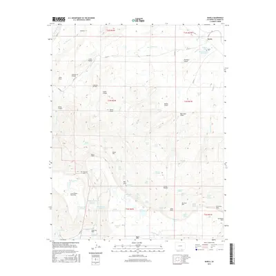
2016 Map of Barela
USGS Topo · Published 2016About this map
Barela and its surrounding high-altitude terrain in Las Animas County define this corner of Southern Colorado, where the landscape transitions from mesas to canyon floors. The settlement of Barela sits near the Barela Cem and the Hermosa Valley Reservoir, serving as a focal point for a region characterized by complex drainage systems like San Francisco Cr and Ocaña Cr. The topography is dominated by massive flat-topped features including Little Fishers Peak Mesa and Barela Mesa, which are separated by significant landmarks such as San Francisco Pass.
Find a feature on this map
80 named features on this map. Tap any name to fly to it.
Don’t see what you’re looking for? This feature index may not catch every label — zoom into the map to look around manually.
Map Details
Editions of this 2016 Barela Map
This is the sole edition of this map. No revisions or reprints were ever made.
Other maps of this area

1892 · Elmoro
USGS Topo · 1:125,000

1893 · Elmoro
USGS Topo · 1:125,000

1897 · Elmoro
USGS Topo · 1:125,000

1912 · Raton
USGS Topo · 1:62,500

1914 · Raton
USGS Topo · 1:62,500

1954 · Raton
USGS Topo · 1:250,000

1954 · Trinidad
USGS Topo · 1:250,000

1955 · Trinidad
USGS Topo · 1:250,000

1958 · Raton
USGS Topo · 1:250,000

1958 · Trinidad
USGS Topo · 1:250,000