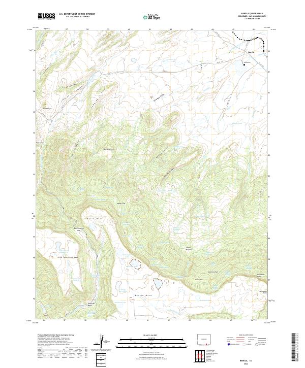
2022 Map of Barela
USGS Topo · Published 2022About this map
The settlement of Barela and its neighboring Barela Cem occupy the high mesas of southern Colorado, where the landscape transitions into a complex system of canyons and volcanic plateaus. This area is characterized by dramatic topographic features such as Burro Mesa, Barela Mesa, and Little Fishers Peak Mesa, which rise above the surrounding drainage networks of San Francisco Cr and Ocaña Cr. The presence of the Raton Ski Basin near the southern border highlights the elevation and recreational utility of this terrain, while named points like San Francisco Pass indicate the historic routes through these breaks.
Find a feature on this map
78 named features on this map. Tap any name to fly to it.
Don’t see what you’re looking for? This feature index may not catch every label — zoom into the map to look around manually.
Map Details
Editions of this 2022 Barela Map
This is the sole edition of this map. No revisions or reprints were ever made.
Other maps of this area

1892 · Elmoro
USGS Topo · 1:125,000

1893 · Elmoro
USGS Topo · 1:125,000

1897 · Elmoro
USGS Topo · 1:125,000

1912 · Raton
USGS Topo · 1:62,500

1914 · Raton
USGS Topo · 1:62,500

1954 · Raton
USGS Topo · 1:250,000

1954 · Trinidad
USGS Topo · 1:250,000

1955 · Trinidad
USGS Topo · 1:250,000

1958 · Raton
USGS Topo · 1:250,000

1958 · Trinidad
USGS Topo · 1:250,000