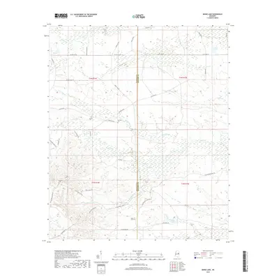
2018 Map of Barge Lake
USGS Topo · Published 2018About this map
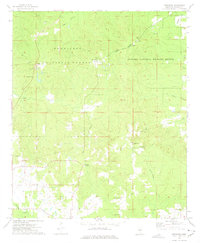
Winston and Noxubee Counties are divided by a clear boundary line in this 2018 survey, characterized by a complex network of waterways and timberland access roads. The hydrology of the area is defined by Yellow Creek and its many tributaries, including Ball Ground Creek and Little Yellow Creek, which drain into several wetland basins. A legacy of forest management and local transit is evident in the naming of routes like Barge Firetower Rd and the Dummy Line Rd, the latter often indicating former logging railroad grades. Small family and community burial sites are scattered throughout the township, providing essential points of interest for genealogists tracing ancestors at Antioch Cemetery, Harrington Cemetery, and Yellow Creek Cemetery. The northern portion of the map includes the strangely named Bombing Range Rd, suggesting past land uses that shaped the modern landscape of central Mississippi.
Find a feature on this map
42 named features on this map. Tap any name to fly to it.
Don’t see what you’re looking for? This feature index may not catch every label — zoom into the map to look around manually.
Map Details
Editions of this 2018 Barge Lake Map
This is the sole edition of this map. No revisions or reprints were ever made.
Other maps of this area

1953 · West Point
USGS Topo · 1:250,000

1958 · West Point
USGS Topo · 1:250,000

1959 · Artesia
USGS Topo · 1:62,500

1963 · West Point
USGS Topo · 1:250,000

1965 · Bluff Lake
USGS Topo · 1:24,000

1965 · Bradley
USGS Topo · 1:24,000
1973 · Boon
USGS Topo · 1:24,000
1973 · Fearns Springs
USGS Topo · 1:24,000
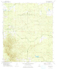
1973 · Barge Lake
USGS Topo · 1:24,000
1973 · Betheden
USGS Topo · 1:24,000