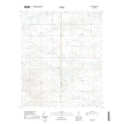
2020 Map of Barge Lake
USGS Topo · Published 2020About this map
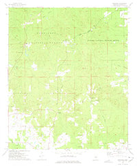
Yellow Cr and its tributaries, including Little Yellow Cr and Ball Ground Cr, define the drainage patterns across the border of Winston and Noxubee counties. This 2020 landscape is marked by several long-established burial sites, including Antioch Cem, Harrington Cem, and Sixteen Cem, which provide essential points of reference for local family history research. In the southern reaches, Barge Lake is a prominent water feature, accessed by a network of timber and service roads like Barge Firetower Rd.
Find a feature on this map
42 named features on this map. Tap any name to fly to it.
Don’t see what you’re looking for? This feature index may not catch every label — zoom into the map to look around manually.
Map Details
Editions of this 2020 Barge Lake Map
This is the sole edition of this map. No revisions or reprints were ever made.
Other maps of this area

1953 · West Point
USGS Topo · 1:250,000

1958 · West Point
USGS Topo · 1:250,000

1959 · Artesia
USGS Topo · 1:62,500

1963 · West Point
USGS Topo · 1:250,000

1965 · Bluff Lake
USGS Topo · 1:24,000

1965 · Bradley
USGS Topo · 1:24,000
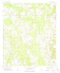
1973 · Boon
USGS Topo · 1:24,000
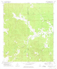
1973 · Fearns Springs
USGS Topo · 1:24,000
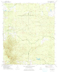
1973 · Barge Lake
USGS Topo · 1:24,000
1973 · Betheden
USGS Topo · 1:24,000