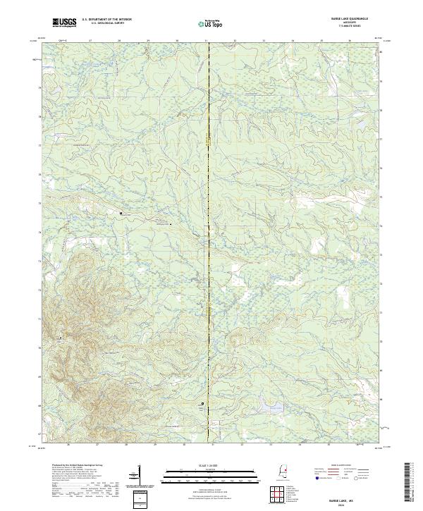
2024 Map of Barge Lake
USGS Topo · Published 2024About this map
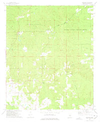
The Sam D Hamilton Noxubee National Wildlife Refuge dominates this section of the Winston and Noxubee County border, preserving a landscape defined by meandering creek systems. Waterways like Yellow Creek and Loakfoma Creek shape the drainage patterns of this territory, while Barge Lake and Cades Lake provide distinct landmarks in the wetlands. The map reveals a rural network of named roads such as Dummy Line Rd and Barge Firetower Rd, which speak to the historic timber management and fire lookout history of the region.
Find a feature on this map
42 named features on this map. Tap any name to fly to it.
Don’t see what you’re looking for? This feature index may not catch every label — zoom into the map to look around manually.
Map Details
Editions of this 2024 Barge Lake Map
This is the sole edition of this map. No revisions or reprints were ever made.
Other maps of this area

1953 · West Point
USGS Topo · 1:250,000

1958 · West Point
USGS Topo · 1:250,000

1959 · Artesia
USGS Topo · 1:62,500

1963 · West Point
USGS Topo · 1:250,000

1965 · Bluff Lake
USGS Topo · 1:24,000

1965 · Bradley
USGS Topo · 1:24,000
1973 · Boon
USGS Topo · 1:24,000
1973 · Fearns Springs
USGS Topo · 1:24,000
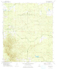
1973 · Barge Lake
USGS Topo · 1:24,000
1973 · Betheden
USGS Topo · 1:24,000