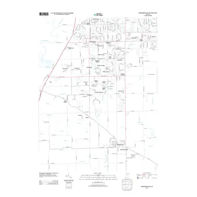
2013 Map of Bargersville
USGS Topo · Published 2013About this map
Bargersville and its surrounding communities in Johnson County show a landscape of residential expansion and agricultural roots in the early 21st century. The geography is defined by a dense network of suburban developments like Waters Edge, Golden Grove, and Foxberry Trace, which are woven between established rural landmarks. Significant water features such as the White River and Honey Creek drain the terrain, while topographical features like Travis Hill and Sally Doty Hill break the steady elevation. Local aviation is well-represented by private strips including Thorn Field Airport, Miles Field Airport, and Beck Airport, reflecting the region's historical and ongoing reliance on small-scale air transport. The distinction between Old Bargersville and the modern town center provides a clear view of how the community has shifted and grown along the road corridors.
Find a feature on this map
66 named features on this map. Tap any name to fly to it.
Don’t see what you’re looking for? This feature index may not catch every label — zoom into the map to look around manually.
Map Details
Editions of this 2013 Bargersville Map
This is the sole edition of this map. No revisions or reprints were ever made.
Other maps of this area

1942 · Franklin
USGS Topo · 1:125,000

1947 · Franklin
USGS Topo · 1:62,500

1948 · Franklin
USGS Topo · 1:24,000

1948 · Maywood
USGS Topo · 1:24,000

1948 · Beech Grove
USGS Topo · 1:24,000

1948 · Trafalgar
USGS Topo · 1:24,000

1950 · Franklin
USGS Topo · 1:62,500

1952 · Bargersville
USGS Topo · 1:24,000

1953 · Greenwood
USGS Topo · 1:24,000

1953 · Bridgeport
USGS Topo · 1:24,000