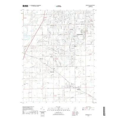
2019 Map of Bargersville
USGS Topo · Published 2019About this map
Old Bargersville and its newer namesake anchor this landscape in Johnson County, illustrating the shifting centers of local life as transportation corridors evolved. The area is dense with family-named landmarks and historic resting places, from Boles Cem and McColgin Cem to the sprawling Forest-Lawn Memory Gardens. These markers provide significant clues for genealogists tracking early settlement patterns near Stones Crossing and Smith Valley.
Find a feature on this map
79 named features on this map. Tap any name to fly to it.
Don’t see what you’re looking for? This feature index may not catch every label — zoom into the map to look around manually.
Map Details
Editions of this 2019 Bargersville Map
This is the sole edition of this map. No revisions or reprints were ever made.
Other maps of this area

1942 · Franklin
USGS Topo · 1:125,000

1947 · Franklin
USGS Topo · 1:62,500

1948 · Franklin
USGS Topo · 1:24,000

1948 · Maywood
USGS Topo · 1:24,000

1948 · Beech Grove
USGS Topo · 1:24,000

1948 · Trafalgar
USGS Topo · 1:24,000

1950 · Franklin
USGS Topo · 1:62,500

1952 · Bargersville
USGS Topo · 1:24,000

1953 · Greenwood
USGS Topo · 1:24,000

1953 · Bridgeport
USGS Topo · 1:24,000