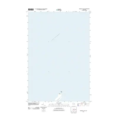
2011 Map of Bark Bay OE N
USGS Topo · Published 2011About this map
Lake Superior dominates this northern coastal survey, where the waters of the world's largest freshwater lake meet the shore of Bayfield County. The map focuses on the narrow peninsula of Bark Point, a distinct geographic feature extending into the open water. This late-2011 edition shows the limited infrastructure of the area, centered on the corridor of Bark Point Rd, which provides access to the shoreline residences and seasonal properties. The topographic detail reflects the transition from the lake's surface to the elevation of the point, illustrating the isolation and natural character of the Wisconsin shoreline along the southern coast of the lake.
Find a feature on this map
4 named features on this map. Tap any name to fly to it.
Don’t see what you’re looking for? This feature index may not catch every label — zoom into the map to look around manually.
Map Details
Editions of this 2011 Bark Bay OE N Map
This is the sole edition of this map. No revisions or reprints were ever made.
Other maps of this area

1943 · Port Wing
USGS Topo · 1:48,000

1944 · Cornucopia
USGS Topo · 1:48,000

1946 · Cornucopia
USGS Topo · 1:48,000

1946 · Port Wing
USGS Topo · 1:48,000

1953 · Ashland
USGS Topo · 1:250,000

1954 · Two Harbors
USGS Topo · 1:250,000

1956 · Split Rock Point
USGS Topo · 1:62,500

1957 · Two Harbors
USGS Topo · 1:250,000

1958 · Ashland
USGS Topo · 1:250,000

1958 · Two Harbors
USGS Topo · 1:250,000