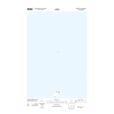
2013 Map of Bark Bay OE N
USGS Topo · Published 2013About this map
Bark Point extends into the expansive waters of Lake Superior in this specialized coastal survey. This peninsula represents the primary geographical feature of the area, serving as a distinct finger of land that separates the bay from the open lake. Access to the tip of this landform is provided by Bark Point Rd, which follows the narrow spine of the point. The map predominantly documents the aquatic boundary and the immediate shoreline environment, illustrating the intersection of the northern Wisconsin coast with the Great Lakes system. The sparse infrastructure concentrated along the single roadway highlights the transition from terrestrial settlements to the maritime expanse.
Find a feature on this map
4 named features on this map. Tap any name to fly to it.
Don’t see what you’re looking for? This feature index may not catch every label — zoom into the map to look around manually.
Map Details
Editions of this 2013 Bark Bay OE N Map
This is the sole edition of this map. No revisions or reprints were ever made.
Other maps of this area

1943 · Port Wing
USGS Topo · 1:48,000

1944 · Cornucopia
USGS Topo · 1:48,000

1946 · Cornucopia
USGS Topo · 1:48,000

1946 · Port Wing
USGS Topo · 1:48,000

1953 · Ashland
USGS Topo · 1:250,000

1954 · Two Harbors
USGS Topo · 1:250,000

1956 · Split Rock Point
USGS Topo · 1:62,500

1957 · Two Harbors
USGS Topo · 1:250,000

1958 · Ashland
USGS Topo · 1:250,000

1958 · Two Harbors
USGS Topo · 1:250,000