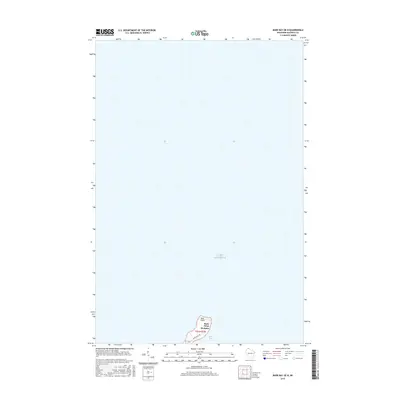
2015 Map of Bark Bay OE N
USGS Topo · Published 2015About this map
Lake Superior dominates this nautical and coastal landscape, where the cold waters of the northern Wisconsin shoreline meet the rugged edge of Bayfield County. The map centers on the distinctive protrusion of Bark Point, a narrow peninsula that defines the western boundary of Bark Bay. At the base of this point, the settlement of Herbster serves as the primary hub for the area, connected by the winding Bark Point Rd. This 2015 survey illustrates a quiet maritime environment where the Lake Superior coastline remains largely undeveloped, preserving the character of the South Shore. Genealogists and local historians can trace the specific land divisions in t51n r7w and the residential layout along the shore where the community of Herbster meets the water.
Find a feature on this map
6 named features on this map. Tap any name to fly to it.
Don’t see what you’re looking for? This feature index may not catch every label — zoom into the map to look around manually.
Map Details
Editions of this 2015 Bark Bay OE N Map
This is the sole edition of this map. No revisions or reprints were ever made.
Other maps of this area

1943 · Port Wing
USGS Topo · 1:48,000

1944 · Cornucopia
USGS Topo · 1:48,000

1946 · Cornucopia
USGS Topo · 1:48,000

1946 · Port Wing
USGS Topo · 1:48,000

1953 · Ashland
USGS Topo · 1:250,000

1954 · Two Harbors
USGS Topo · 1:250,000

1956 · Split Rock Point
USGS Topo · 1:62,500

1957 · Two Harbors
USGS Topo · 1:250,000

1958 · Ashland
USGS Topo · 1:250,000

1958 · Two Harbors
USGS Topo · 1:250,000