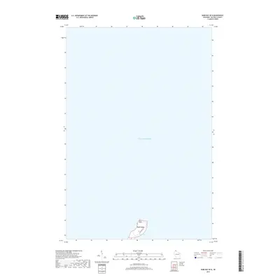
2018 Map of Bark Bay OE N
USGS Topo · Published 2018About this map
Bark Point extends into the vast waters of southern Lake Superior in this 2018 survey of the Bayfield County coast. The landform itself is the primary focus, bisected by Bark Point Rd which serves the sparse residential development along this narrow finger of land. To the east, the sheltered waters of Bark Bay provide a natural harbor, protected by the peninsula's geography. This map offers a clean, contemporary look at the shoreline's interface with the Great Lakes, showing the minimal road infrastructure and natural contours of a region defined by its maritime exposure and proximity to the open lake.
Find a feature on this map
4 named features on this map. Tap any name to fly to it.
Don’t see what you’re looking for? This feature index may not catch every label — zoom into the map to look around manually.
Map Details
Editions of this 2018 Bark Bay OE N Map
This is the sole edition of this map. No revisions or reprints were ever made.
Other maps of this area

1943 · Port Wing
USGS Topo · 1:48,000

1944 · Cornucopia
USGS Topo · 1:48,000

1946 · Cornucopia
USGS Topo · 1:48,000

1946 · Port Wing
USGS Topo · 1:48,000

1953 · Ashland
USGS Topo · 1:250,000

1954 · Two Harbors
USGS Topo · 1:250,000

1956 · Split Rock Point
USGS Topo · 1:62,500

1957 · Two Harbors
USGS Topo · 1:250,000

1958 · Ashland
USGS Topo · 1:250,000

1958 · Two Harbors
USGS Topo · 1:250,000