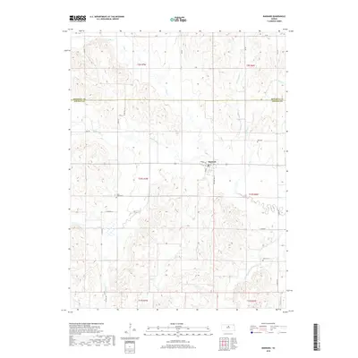
2018 Map of Barnard
USGS Topo · Published 2018About this map
Barnard sits at the heart of this North Central Kansas landscape, positioned where several drainages converge just south of the Mitchell Co line. The area is defined by a dense network of watercourses, including Salt Cr, Rattlesnake Cr, and several branches of Third Cr, which carve through the terrain between sections of open land. Local history and genealogy are preserved in the locations of Milo Cem to the northeast and Union Valley Cem to the southwest, providing specific points of interest for those tracing family roots in this rural community. The map illustrates a traditional section-line road grid, featuring routes like Harper Ave and Main St, that has structured the agricultural layout of Lincoln Co for generations. Further south, the headwaters of Battle Cr and E Elkhorn Cr near Elkhorn Cem show the continued importance of the local watershed in defining property and settlement patterns.
Find a feature on this map
38 named features on this map. Tap any name to fly to it.
Don’t see what you’re looking for? This feature index may not catch every label — zoom into the map to look around manually.
Map Details
Editions of this 2018 Barnard Map
This is the sole edition of this map. No revisions or reprints were ever made.
Other maps of this area

1892 · Minneapolis
USGS Topo · 1:125,000

1894 · Beloit
USGS Topo · 1:125,000

1952 · Glasco SW
USGS Topo · 1:24,000

1955 · Manhattan
USGS Topo · 1:250,000

1955 · Beloit
USGS Topo · 1:250,000

1956 · Manhattan
USGS Topo · 1:250,000

1957 · Manhattan
USGS Topo · 1:250,000

1959 · Beloit
USGS Topo · 1:250,000

1962 · Lincoln
USGS Topo · 1:24,000
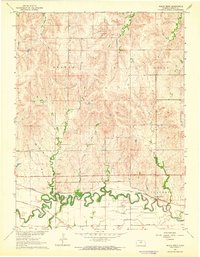
1963 · Shady Bend
USGS Topo · 1:24,000