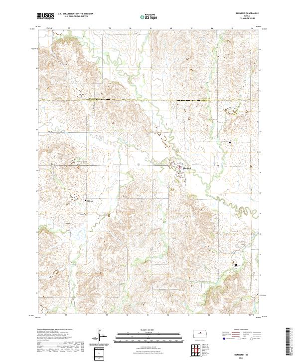
2022 Map of Barnard
USGS Topo · Published 2022About this map
Barnard serves as the primary hub of this North Central Kansas landscape, located at the intersection of State Hwy 284, Main St, and White St. The terrain is deeply etched by a complex drainage network, where Salt Cr and its numbered tributaries — Fourth Cr and Fifth Cr — flow southward through the agricultural plains. To the east and west, branches of Third Cr and Rattlesnake Cr create a series of subtle ridges and valleys that define the local topography.
Find a feature on this map
32 named features on this map. Tap any name to fly to it.
Don’t see what you’re looking for? This feature index may not catch every label — zoom into the map to look around manually.
Map Details
Editions of this 2022 Barnard Map
This is the sole edition of this map. No revisions or reprints were ever made.
Other maps of this area

1892 · Minneapolis
USGS Topo · 1:125,000

1894 · Beloit
USGS Topo · 1:125,000

1952 · Glasco SW
USGS Topo · 1:24,000

1955 · Manhattan
USGS Topo · 1:250,000

1955 · Beloit
USGS Topo · 1:250,000

1956 · Manhattan
USGS Topo · 1:250,000

1957 · Manhattan
USGS Topo · 1:250,000

1959 · Beloit
USGS Topo · 1:250,000

1962 · Lincoln
USGS Topo · 1:24,000
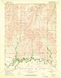
1963 · Shady Bend
USGS Topo · 1:24,000