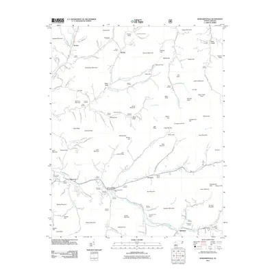
2011 Map of Barnardsville
USGS Topo · Published 2011About this map
Barnardsville serves as the focal point of this mountain landscape, centered near the junction of Ivy Creek and Dillingham Creek. The settlement pattern follows the narrow valley floors, with community life anchored by the Barnardsville Post Office and numerous family-named burial grounds. Significant genealogical markers are scattered throughout the region, including the Big Ivy Cemetery and Whitaker Cemetery, reflecting a long history of local kinship.
Find a feature on this map
141 named features on this map. Tap any name to fly to it.
Don’t see what you’re looking for? This feature index may not catch every label — zoom into the map to look around manually.
Map Details
Editions of this 2011 Barnardsville Map
This is the sole edition of this map. No revisions or reprints were ever made.
Other maps of this area

1894 · Asheville
USGS Topo · 1:125,000

1900 · Mount Mitchell
USGS Topo · 1:125,000

1901 · Asheville
USGS Topo · 1:125,000

1902 · Mount Mitchell
USGS Topo · 1:125,000

1935 · Montreat
USGS Topo · 1:24,000

1935 · Black Brothers
USGS Topo · 1:24,000

1935 · Burnsville
USGS Topo · 1:24,000

1935 · Bald Creek
USGS Topo · 1:24,000

1935 · Barnardsville
USGS Topo · 1:24,000

1935 · Craggy Pinnacle
USGS Topo · 1:24,000