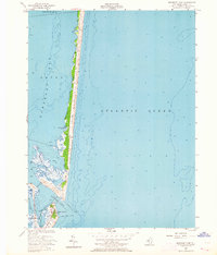
1953 Map of Barnegat Light
USGS Topo · Published 1964About this map
Barnegat Light stands as the primary landmark at the northern tip of Long Beach Island, guarding the treacherous waters where the Barnegat Inlet meets the Atlantic Ocean. This mid-century coastal survey, based on aerial photography from 1951 and hydrography dating back to the 1930s, captures the shifting sands and delicate marshlands of the Jersey Shore before modern overdevelopment. The map details the transition from the densely vegetated Island Beach to the more settled southern bank of the inlet.
Find a feature on this map
15 named features on this map. Tap any name to fly to it.
Don’t see what you’re looking for? This feature index may not catch every label — zoom into the map to look around manually.
Map Details
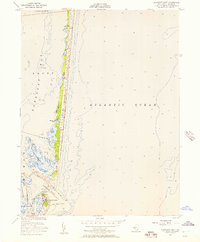
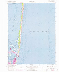
Editions of this 1953 Barnegat Light Map
3 editions found
Other maps of this area

1888 · Barnegat
USGS Topo · 1:62,500

1888 · Long Beach
USGS Topo · 1:62,500

1893 · Long Beach
USGS Topo · 1:62,500

1893 · Barnegat
USGS Topo · 1:62,500

1898 · Barnegat
USGS Topo · 1:62,500

1919 · Long Beach
USGS Topo · 1:62,500

1919 · Barnegat
USGS Topo · 1:62,500

1941 · Toms River
USGS Topo · 1:62,500
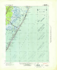
1941 · Long Beach
USGS Topo · 1:62,500

1946 · Wilmington
USGS Topo · 1:250,000