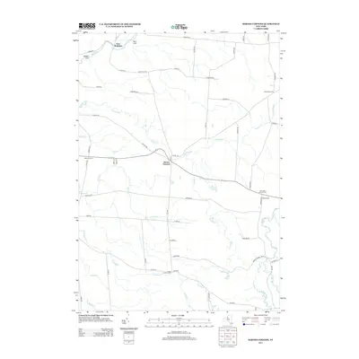
2013 Map of Barnes Corners
USGS Topo · Published 2013About this map
Barnes Corners sits at the intersection of several rural state and county routes in this 2013 survey, serving as a central hub for a landscape defined by its complex drainage network and dispersed hamlets. The terrain is notably etched by deep ravines, including Bear Gulf and Shingle Gulf in the north, where water flows through Sandy Cr and the Gulf Stream. These features suggest a high-relief Tug Hill landscape where road placement follows the path of least resistance between stream cuts.
Find a feature on this map
64 named features on this map. Tap any name to fly to it.
Don’t see what you’re looking for? This feature index may not catch every label — zoom into the map to look around manually.
Map Details
Editions of this 2013 Barnes Corners Map
This is the sole edition of this map. No revisions or reprints were ever made.
Other maps of this area

1895 · Watertown
USGS Topo · 1:62,500

1898 · Watertown
USGS Topo · 1:62,500

1902 · Carthage
USGS Topo · 1:62,500

1903 · Orwell
USGS Topo · 1:62,500

1904 · Carthage
USGS Topo · 1:62,500

1905 · Orwell
USGS Topo · 1:62,500

1906 · Highmarket
USGS Topo · 1:62,500

1908 · Watertown
USGS Topo · 1:62,500

1909 · Watertown
USGS Topo · 1:62,500

1942 · Copenhagen
USGS Topo · 1:24,000