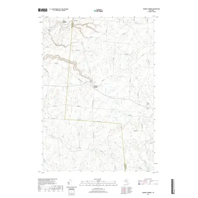
2019 Map of Barnes Corners
USGS Topo · Published 2019About this map
Inman Gulf and Bear Gulf carve significant relief into the Tug Hill Plateau landscape of the late 2010s. This survey records the rural character of the border between Jefferson and Lewis counties, centered on the hamlet of Barnes Corners. The terrain is defined by a complex network of waterways, including the upper reaches of Sandy Creek and the West Branch Deer River, which flow through heavily wooded sections and open fields.
Find a feature on this map
55 named features on this map. Tap any name to fly to it.
Don’t see what you’re looking for? This feature index may not catch every label — zoom into the map to look around manually.
Map Details
Editions of this 2019 Barnes Corners Map
This is the sole edition of this map. No revisions or reprints were ever made.
Other maps of this area

1895 · Watertown
USGS Topo · 1:62,500

1898 · Watertown
USGS Topo · 1:62,500

1902 · Carthage
USGS Topo · 1:62,500

1903 · Orwell
USGS Topo · 1:62,500

1904 · Carthage
USGS Topo · 1:62,500

1905 · Orwell
USGS Topo · 1:62,500

1906 · Highmarket
USGS Topo · 1:62,500

1908 · Watertown
USGS Topo · 1:62,500

1909 · Watertown
USGS Topo · 1:62,500

1942 · Copenhagen
USGS Topo · 1:24,000