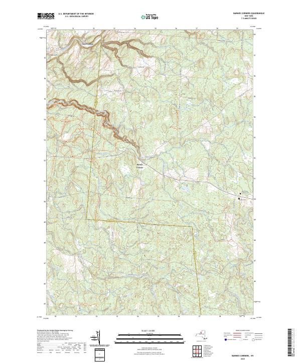
2023 Map of Barnes Corners
USGS Topo · Published 2023About this map
The hamlet of Barnes Corners serves as the central hub of this northern New York landscape, situated at the intersection of several county routes and local trails. The geography is deeply carved by water, most notably at Inman Gulf, Bear Gulf, and Shingle Gulf. These steep-walled ravines characterize the Tug Hill Plateau's western slopes, where drainage features like Fish Creek and Denning Creek descend toward the Black River valley.
Find a feature on this map
79 named features on this map. Tap any name to fly to it.
Don’t see what you’re looking for? This feature index may not catch every label — zoom into the map to look around manually.
Map Details
Editions of this 2023 Barnes Corners Map
This is the sole edition of this map. No revisions or reprints were ever made.
Other maps of this area

1895 · Watertown
USGS Topo · 1:62,500

1898 · Watertown
USGS Topo · 1:62,500

1902 · Carthage
USGS Topo · 1:62,500

1903 · Orwell
USGS Topo · 1:62,500

1904 · Carthage
USGS Topo · 1:62,500

1905 · Orwell
USGS Topo · 1:62,500

1906 · Highmarket
USGS Topo · 1:62,500

1908 · Watertown
USGS Topo · 1:62,500

1909 · Watertown
USGS Topo · 1:62,500

1942 · Copenhagen
USGS Topo · 1:24,000