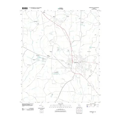
2011 Map of Barnesville
USGS Topo · Published 2011About this map
Barnesville and the mill village of Aldora anchor this central Georgia landscape, where the rolling Piedmont terrain meets the headwaters of several key regional drainages. The map reveals a complex network of small lakes and water control structures, such as Potato Creek Structure Number 103 Lake and the Camnaflax Lake system, illustrating the area's modern hydrological management. For local historians, the sheet is dense with family and community landmarks, including the Confederate Cemetery north of Milner and smaller burial sites like Wadesworth Cemetery and Martin Cemetery. These locations, along with the former industrial site at Woodfin Mill, provide a clear view of the settlement patterns that transitioned from early rural agricultural hubs to more modern residential and commercial corridors along the Old 41 Highway.
Find a feature on this map
92 named features on this map. Tap any name to fly to it.
Don’t see what you’re looking for? This feature index may not catch every label — zoom into the map to look around manually.
Map Details
Editions of this 2011 Barnesville Map
This is the sole edition of this map. No revisions or reprints were ever made.
Other maps of this area

1935 · Thomaston
USGS Topo · 1:48,000

1939 · Thomaston
USGS Topo · 1:62,500

1951 · Yatesville
USGS Topo · 1:62,500

1951 · Barnesville
USGS Topo · 1:62,500

1953 · Atlanta
USGS Topo · 1:250,000

1955 · Phenix City
USGS Topo · 1:250,000

1957 · Phenix City
USGS Topo · 1:250,000

1957 · Atlanta
USGS Topo · 1:250,000

1958 · Phenix City
USGS Topo · 1:250,000

1958 · Atlanta
USGS Topo · 1:250,000