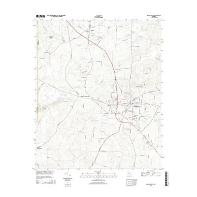
2014 Map of Barnesville
USGS Topo · Published 2014About this map
Barnesville and the surrounding Lamar County landscape are defined by a long history of rail and education. The Norfolk Southern railroad corridor acts as the primary spine for local settlement, connecting the city to Aldora and Milner. The presence of Gordon Coll reflects the area's established role as a regional center for learning. The terrain is marked by significant high points like Pine Mtn and Hog Mtn, while the rural character is preserved in numerous family-named sites and historic burial grounds, including the Confederate Cem and Wadesworth Cem. Water resources are abundant, ranging from the winding Big Towaliga Creek to localized features like Akin Lake and McCord Lake, illustrating the drainage patterns that once supported industry at sites like Woodfin Mill.
Find a feature on this map
167 named features on this map. Tap any name to fly to it.
Don’t see what you’re looking for? This feature index may not catch every label — zoom into the map to look around manually.
Map Details
Editions of this 2014 Barnesville Map
This is the sole edition of this map. No revisions or reprints were ever made.
Other maps of this area

1935 · Thomaston
USGS Topo · 1:48,000

1939 · Thomaston
USGS Topo · 1:62,500

1951 · Yatesville
USGS Topo · 1:62,500

1951 · Barnesville
USGS Topo · 1:62,500

1953 · Atlanta
USGS Topo · 1:250,000

1955 · Phenix City
USGS Topo · 1:250,000

1957 · Phenix City
USGS Topo · 1:250,000

1957 · Atlanta
USGS Topo · 1:250,000

1958 · Phenix City
USGS Topo · 1:250,000

1958 · Atlanta
USGS Topo · 1:250,000