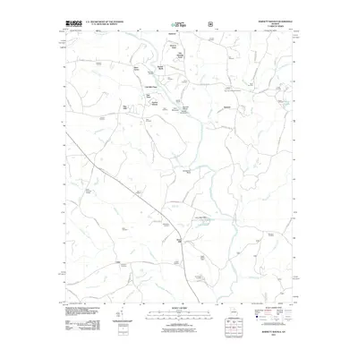
2011 Map of Barnett Shoals
USGS Topo · Published 2011About this map
The Oconee River and Middle Oconee River converge in this Georgia landscape, defining a region where water power once drove local industry. Evidence of this heritage remains at Barnetts Shoals, where the Barnetts Shoals Dam spans the river near Coon Mountain. The terrain is marked by numerous family and community burial grounds, including the Big Creek Hardshell Cemetery and the Trible Cemetery, which provide essential touchpoints for genealogical research.
Find a feature on this map
96 named features on this map. Tap any name to fly to it.
Don’t see what you’re looking for? This feature index may not catch every label — zoom into the map to look around manually.
Map Details
Editions of this 2011 Barnett Shoals Map
This is the sole edition of this map. No revisions or reprints were ever made.
Other maps of this area

1953 · Athens
USGS Topo · 1:250,000

1958 · Athens
USGS Topo · 1:250,000

1959 · Athens
USGS Topo · 1:250,000

1963 · Athens
USGS Topo · 1:250,000

1964 · Athens West
USGS Topo · 1:24,000

1964 · Barnett Shoals
USGS Topo · 1:24,000

1964 · Watkinsville
USGS Topo · 1:24,000
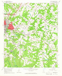
1964 · Athens East
USGS Topo · 1:24,000
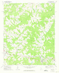
1971 · Crawford
USGS Topo · 1:24,000

1971 · Maxeys
USGS Topo · 1:24,000