
1964 Map of Watkinsville
USGS Topo · Published 1965About this map
The Central of Georgia railroad serves as the spine of Oconee County on this 1964 survey, connecting the small agrarian hubs of Watkinsville, Bishop, and Farmington. The landscape is a network of small family cemeteries and rural congregations that define the social geography of the era. Genealogists will find numerous family-named burial grounds like Fullilove-Jackson Cem and Sheats-Thompson Cem, alongside local landmarks like Porters and the Southern Piedmont Experimental Station. The southwestern portion of the sheet is bounded by the winding Apalachee River, where the terrain transitions into the forested creek valleys of Jacks Creek and Bucks Cr. This map documents a traditional Georgia landscape just before suburban expansion from nearby Athens began to reach southward into these farming communities.
Find a feature on this map
58 named features on this map. Tap any name to fly to it.
Don’t see what you’re looking for? This feature index may not catch every label — zoom into the map to look around manually.
Map Details
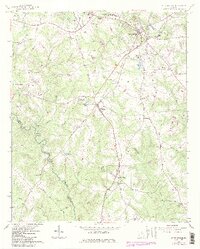
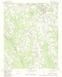
Editions of this 1964 Watkinsville Map
3 editions found
Other maps of this area

1896 · Monroe
USGS Topo · 1:125,000

1953 · Athens
USGS Topo · 1:250,000

1958 · Athens
USGS Topo · 1:250,000

1959 · Athens
USGS Topo · 1:250,000

1963 · Athens
USGS Topo · 1:250,000

1964 · Athens West
USGS Topo · 1:24,000

1964 · Barnett Shoals
USGS Topo · 1:24,000

1964 · High Shoals
USGS Topo · 1:24,000
1964 · Statham
USGS Topo · 1:24,000
1964 · Athens East
USGS Topo · 1:24,000