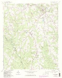
1964 Map of Watkinsville
USGS Topo · Published 1986About this map
The Central of Georgia railroad serves as the primary corridor for commerce and travel through Oconee County, connecting the settlements of Watkinsville, Bishop, and Farmington. This rural landscape is defined by its agricultural character, evidenced by the sprawling Southern Piedmont Experimental Station and the US Dept of Agriculture facilities near the northern boundary. The terrain is deeply carved by waterways such as Calls Creek and the Apalachee River, where smaller tributaries like Robinson Creek and Whitlow Creek drain into the river valley.
Find a feature on this map
57 named features on this map. Tap any name to fly to it.
Don’t see what you’re looking for? This feature index may not catch every label — zoom into the map to look around manually.
Map Details
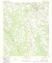
Editions of this 1964 Watkinsville Map
3 editions found
Other maps of this area

1896 · Monroe
USGS Topo · 1:125,000

1953 · Athens
USGS Topo · 1:250,000

1958 · Athens
USGS Topo · 1:250,000

1959 · Athens
USGS Topo · 1:250,000

1963 · Athens
USGS Topo · 1:250,000

1964 · Athens West
USGS Topo · 1:24,000

1964 · Barnett Shoals
USGS Topo · 1:24,000

1964 · High Shoals
USGS Topo · 1:24,000

1964 · Watkinsville
USGS Topo · 1:24,000
1964 · Statham
USGS Topo · 1:24,000