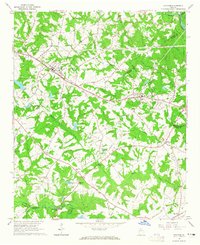
1964 Map of Statham
USGS Topo · Published 1965About this map
The Seaboard Air Line railway corridor forms the backbone of this mid-1960s landscape, connecting the growing communities of Statham and Bogart. This survey captures the rural character of the Piedmont before the heavy suburbanization of the nearby Athens area, showing a network of family-named roads like Cofer Rd and Kinney Rat Road that crisscross a terrain defined by the drainage of Barber Creek and McNutt Creek.
Find a feature on this map
55 named features on this map. Tap any name to fly to it.
Don’t see what you’re looking for? This feature index may not catch every label — zoom into the map to look around manually.
Map Details
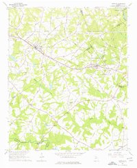
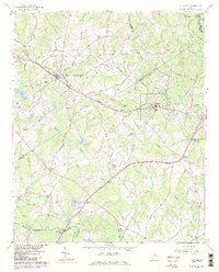
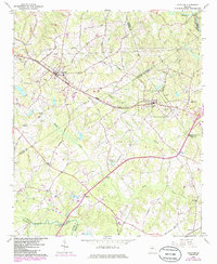
Editions of this 1964 Statham Map
4 editions found
Other maps of this area

1891 · Gainesville
USGS Topo · 1:125,000

1891 · Carnesville
USGS Topo · 1:125,000

1896 · Monroe
USGS Topo · 1:125,000

1953 · Athens
USGS Topo · 1:250,000

1954 · Greenville
USGS Topo · 1:250,000

1958 · Greenville
USGS Topo · 1:250,000

1958 · Athens
USGS Topo · 1:250,000

1959 · Athens
USGS Topo · 1:250,000

1963 · Athens
USGS Topo · 1:250,000

1964 · Athens West
USGS Topo · 1:24,000