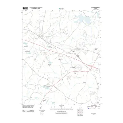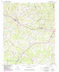
1964 Map of Statham
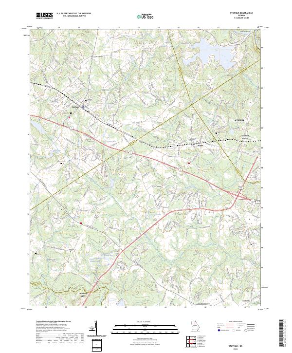
USGS Topo · Published 1986About this map
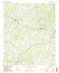
The Seaboard Coast Line corridor anchors the settlement patterns of this northeast Georgia landscape, connecting the towns of Statham and Bogart. This mid-century survey reveals a community deeply tied to its watercourses and small-scale industry, evidenced by the Caruthers Mill and nearby Caruthers Sch along the Apalachee River. Local life centers around a dense network of rural landmarks, from Pleasant Hill Ch in the northwest to the clusters at Bethabara Ch and Mt Zion Cem Ch. The terrain is defined by the dendritic drainage of Barber Creek and McNutt Creek, while the boundaries of Barrow, Oconee, Clarke, and Walton counties converge in the southern and eastern portions of the map. Purple revisions from the early 1980s highlight the suburban expansion creeping into these traditionally agricultural spaces.
Find a feature on this map
60 named features on this map. Tap any name to fly to it.
Don’t see what you’re looking for? This feature index may not catch every label — zoom into the map to look around manually.
Map Details
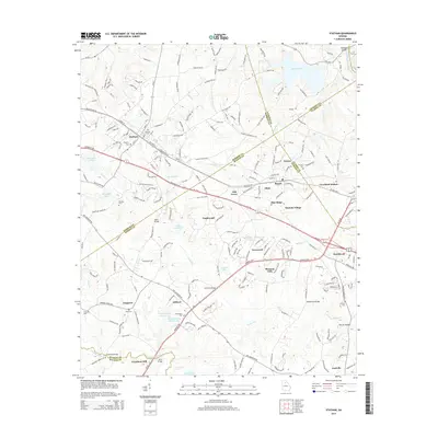
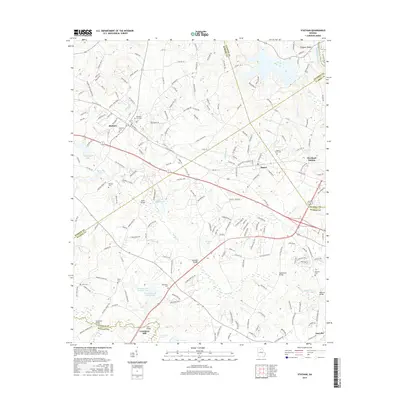
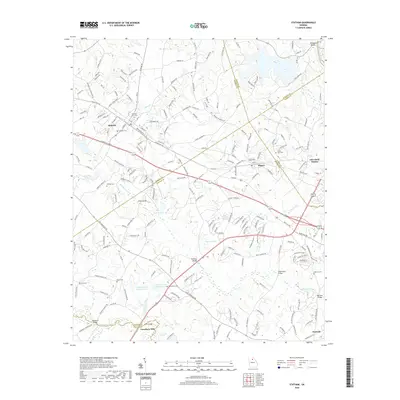
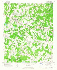
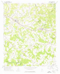
Editions of this 1964 Statham Map
4 editions found
Historical Maps of Athens Through Time
6 maps found