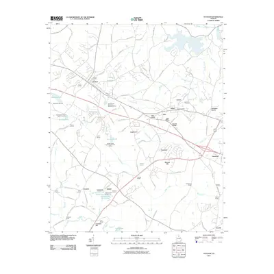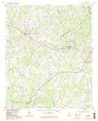
1964 Map of Statham
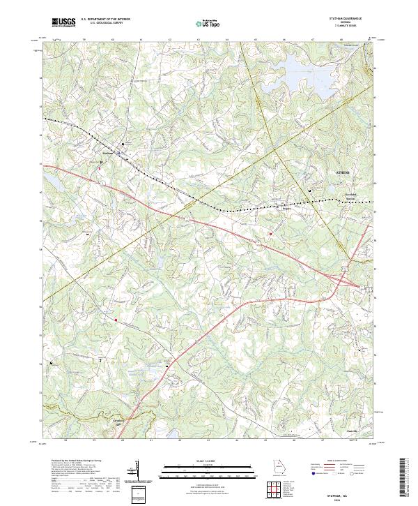
USGS Topo · Published 1986About this map
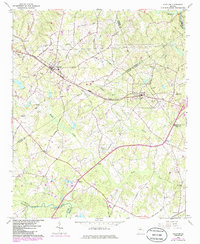
Statham and Bogart serve as the primary hubs along the Seaboard Coast Line railroad during this mid-century period in Northeast Georgia. The landscape is defined by the headwaters and drainage basins of the Middle Oconee River and the Apalachee River, with numerous creeks like Barber Creek and McNutt Creek carving through the terrain. The area shows a transition from traditional rural industry to modern infrastructure, evidenced by the presence of Caruthers Mill and Caruthers Sch alongside a network of newly established pipelines and utility stations.
Find a feature on this map
58 named features on this map. Tap any name to fly to it.
Don’t see what you’re looking for? This feature index may not catch every label — zoom into the map to look around manually.
Map Details
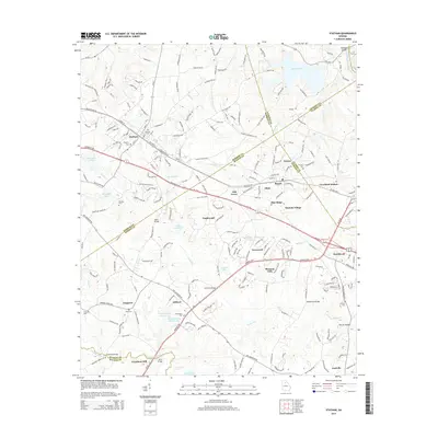
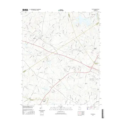
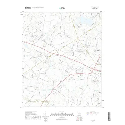
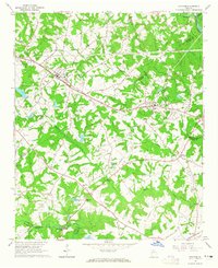
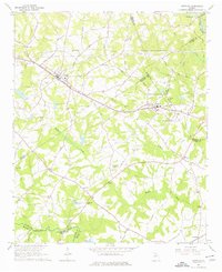
Editions of this 1964 Statham Map
4 editions found
Historical Maps of Athens Through Time
6 maps found