
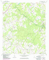
1964 Map of High Shoals
USGS Topo · Published 1965About this map
The Apalachee River forms a winding natural boundary between Walton and Oconee counties, carving through a landscape defined by small-scale agriculture and early Georgia industry. The presence of Snows Mill along the river and the Cotton Research Station to the north reflects the region's historical reliance on water power and textile production. At Horseshoe Bend, the river creates a dramatic loop, while the surrounding hills are dotted with family-named landmarks like McGaughey Cem and Locklin Cem, which are invaluable for genealogical research.
Find a feature on this map
51 named features on this map. Tap any name to fly to it.
Don’t see what you’re looking for? This feature index may not catch every label — zoom into the map to look around manually.
Map Details
Editions of this 1964 High Shoals Map
2 editions found
Other maps of this area

1896 · Monroe
USGS Topo · 1:125,000

1953 · Athens
USGS Topo · 1:250,000

1958 · Athens
USGS Topo · 1:250,000

1959 · Athens
USGS Topo · 1:250,000

1963 · Athens
USGS Topo · 1:250,000

1964 · Athens West
USGS Topo · 1:24,000

1964 · Watkinsville
USGS Topo · 1:24,000

1964 · Monroe
USGS Topo · 1:24,000

1964 · Winder South
USGS Topo · 1:24,000
1964 · Statham
USGS Topo · 1:24,000