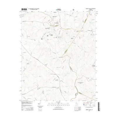
2014 Map of Barnett Shoals
USGS Topo · Published 2014About this map
The Oconee River winds through this landscape on the borders of Clarke, Oconee, and Oglethorpe counties, defining a terrain of shoals and sharp bends. Near the settlement of Elder, the historic Elder Covered Bridge spans the waters of Rose Creek, serving as a significant landmark for local history and architecture. This 2014 survey captures a rural Georgia corridor where family lineages are traced through numerous burial grounds such as the Hardigree Elder Cemetery, Willoughby Cemetery, and Fambrough Cemetery.
Find a feature on this map
122 named features on this map. Tap any name to fly to it.
Don’t see what you’re looking for? This feature index may not catch every label — zoom into the map to look around manually.
Map Details
Editions of this 2014 Barnett Shoals Map
This is the sole edition of this map. No revisions or reprints were ever made.
Other maps of this area

1953 · Athens
USGS Topo · 1:250,000

1958 · Athens
USGS Topo · 1:250,000

1959 · Athens
USGS Topo · 1:250,000

1963 · Athens
USGS Topo · 1:250,000
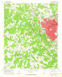
1964 · Athens West
USGS Topo · 1:24,000
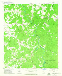
1964 · Barnett Shoals
USGS Topo · 1:24,000
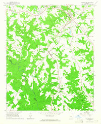
1964 · Watkinsville
USGS Topo · 1:24,000
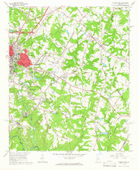
1964 · Athens East
USGS Topo · 1:24,000
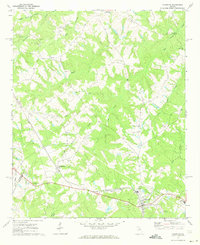
1971 · Crawford
USGS Topo · 1:24,000
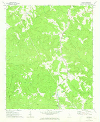
1971 · Maxeys
USGS Topo · 1:24,000