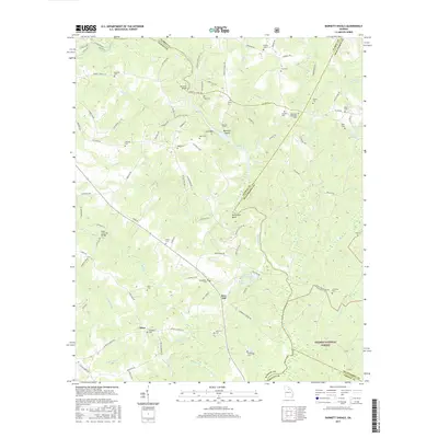
2017 Map of Barnett Shoals
USGS Topo · Published 2017About this map
The Oconee River winds through this Piedmont landscape, serving as a natural boundary between Clarke, Oconee, Oglethorpe, and Greene counties. The river’s path is marked by distinctive hydrological features like Barnetts Shoals and the sharp turn at Horseshoe Bend. Near the settlement of Elder, the Elder Covered Bridge stands as a significant local landmark, connecting the modern road network to the area's structural history.
Find a feature on this map
107 named features on this map. Tap any name to fly to it.
Don’t see what you’re looking for? This feature index may not catch every label — zoom into the map to look around manually.
Map Details
Editions of this 2017 Barnett Shoals Map
This is the sole edition of this map. No revisions or reprints were ever made.
Other maps of this area

1953 · Athens
USGS Topo · 1:250,000

1958 · Athens
USGS Topo · 1:250,000

1959 · Athens
USGS Topo · 1:250,000

1963 · Athens
USGS Topo · 1:250,000

1964 · Athens West
USGS Topo · 1:24,000

1964 · Barnett Shoals
USGS Topo · 1:24,000

1964 · Watkinsville
USGS Topo · 1:24,000
1964 · Athens East
USGS Topo · 1:24,000
1971 · Crawford
USGS Topo · 1:24,000

1971 · Maxeys
USGS Topo · 1:24,000