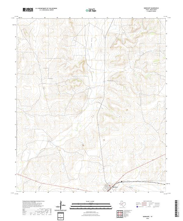
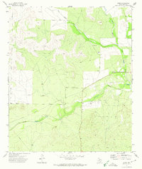
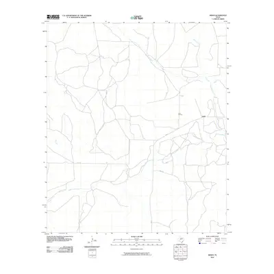
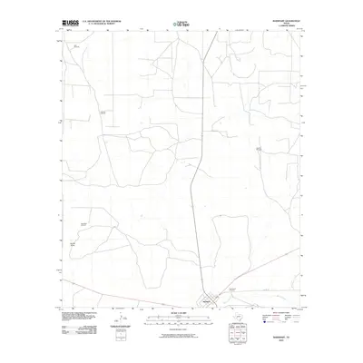
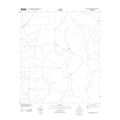
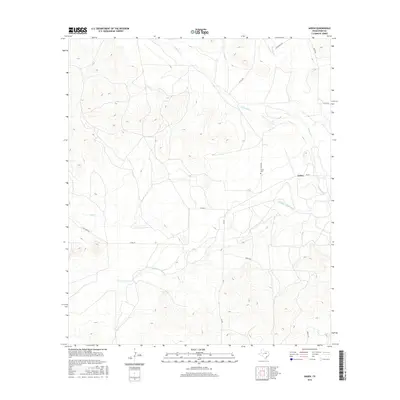
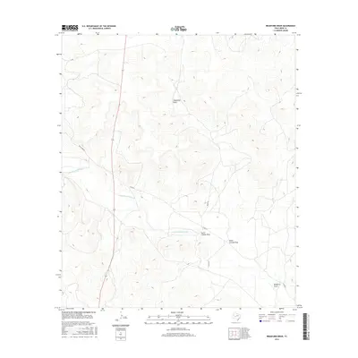
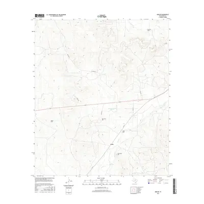
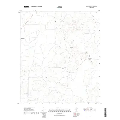
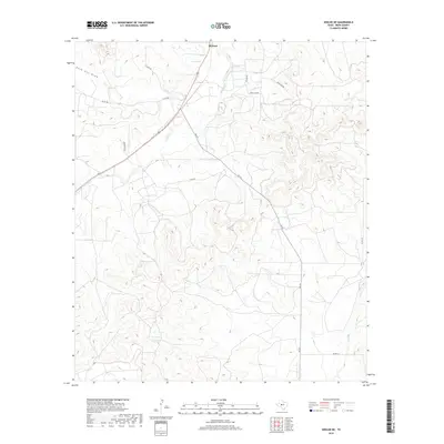
2022 Map of Barnhart
USGS Topo · Published 2022About this map
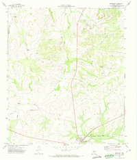
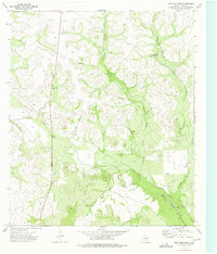
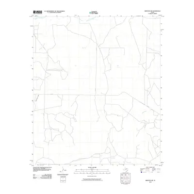
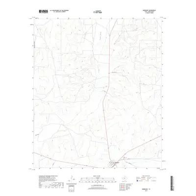
Barnhart serves as the primary hub of activity in this section of Irion County, concentrated near the intersection of highway 67 and Route 163. The town's grid is small but distinct, featuring residential streets like Draper St, Irion St, and Reagan St. Outside the town center, the landscape is defined by wide ranching corridors such as McAfee Ranch Rd and Hinde Rd, which traverse the high plateau terrain.
Find a feature on this map
15 named features on this map. Tap any name to fly to it.
Don’t see what you’re looking for? This feature index may not catch every label — zoom into the map to look around manually.
Map Details
Editions of this 2022 Barnhart Map
This is the sole edition of this map. No revisions or reprints were ever made.
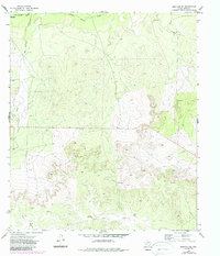
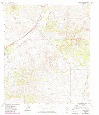
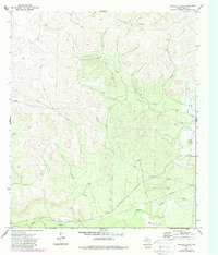
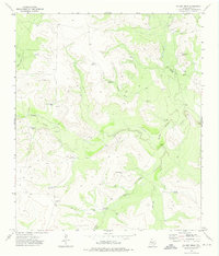
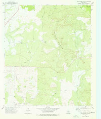
Historical Maps of Barnhart Through Time
71 maps found
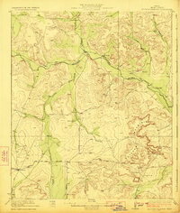
1895 Sherwood
Irion County, TX
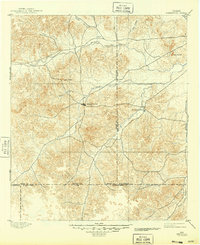
1920 Barnhart
Irion County, TX
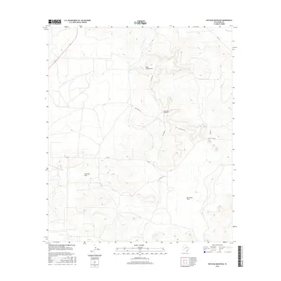
1921 Ketchum Mountain
Irion County, TX

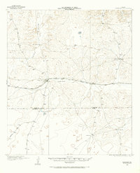
1922 Barnhart
Irion County, TX
1923 Ketchum Mountain
Irion County, TX
1971 Barnhart
Irion County, TX
1971 Barnhart NE
Irion County, TX
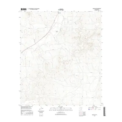
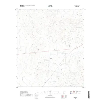
1971 Noelke
Irion County, TX
1972 Arden
Irion County, TX
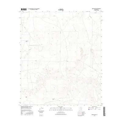
1972 Mertzon SW
Irion County, TX
1972 Noelke NE
Irion County, TX
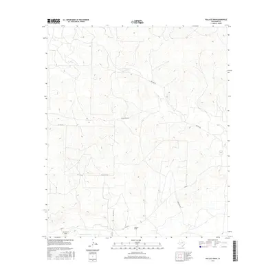
1972 Wallace Draw
Irion County, TX
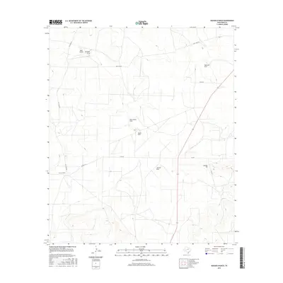
1973 Bradford Draw
Irion County, TX
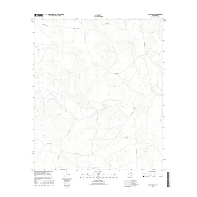
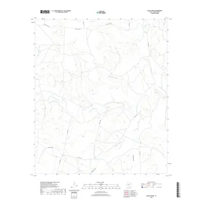
1973 Causey Draw
Irion County, TX
1973 Ketchum Mountain
Irion County, TX

1973 Rocker B Ranch
Irion County, TX
2010 Arden
Irion County, TX
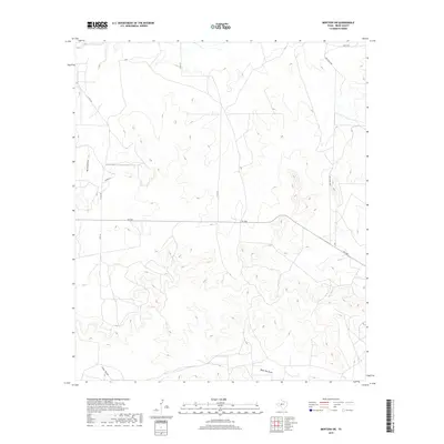
2010 Barnhart
Irion County, TX

2010 Barnhart NE
Irion County, TX
2010 Bradford Draw
Irion County, TX
2010 Causey Draw
Irion County, TX
2010 Ketchum Mountain
Irion County, TX
2010 Mertzon SW
Irion County, TX
2010 Noelke
Irion County, TX
2010 Noelke NE
Irion County, TX
2010 Rocker B Ranch
Irion County, TX
2010 Wallace Draw
Irion County, TX

2012 Arden
Irion County, TX

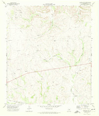
2012 Barnhart
Irion County, TX
2012 Barnhart NE
Irion County, TX
2012 Bradford Draw
Irion County, TX
2012 Causey Draw
Irion County, TX
2012 Ketchum Mountain
Irion County, TX
2012 Mertzon SW
Irion County, TX

2012 Noelke
Irion County, TX
2012 Noelke NE
Irion County, TX
2012 Rocker B Ranch
Irion County, TX
2013 Wallace Draw
Irion County, TX
2016 Arden
Irion County, TX
2016 Barnhart
Irion County, TX
2016 Barnhart NE
Irion County, TX
2016 Bradford Draw
Irion County, TX
2016 Causey Draw
Irion County, TX
2016 Ketchum Mountain
Irion County, TX
2016 Mertzon SW
Irion County, TX
2016 Noelke
Irion County, TX
2016 Noelke NE
Irion County, TX
2016 Rocker B Ranch
Irion County, TX
2016 Wallace Draw
Irion County, TX
2019 Arden
Irion County, TX
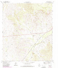
2019 Barnhart
Irion County, TX
2019 Barnhart NE
Irion County, TX
2019 Bradford Draw
Irion County, TX
2019 Causey Draw
Irion County, TX
2019 Ketchum Mountain
Irion County, TX
2019 Mertzon SW
Irion County, TX
2019 Noelke
Irion County, TX
2019 Noelke NE
Irion County, TX
2019 Rocker B Ranch
Irion County, TX
2019 Wallace Draw
Irion County, TX
2022 Arden
Irion County, TX
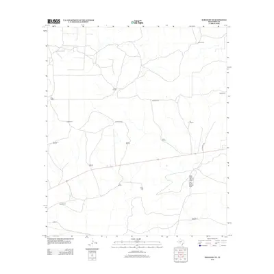
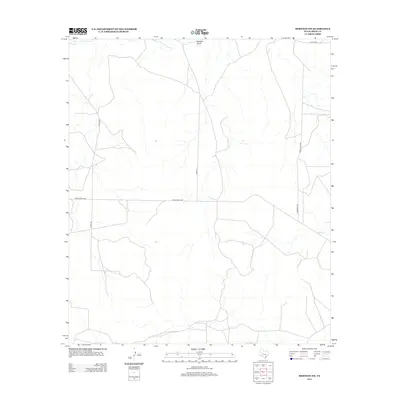
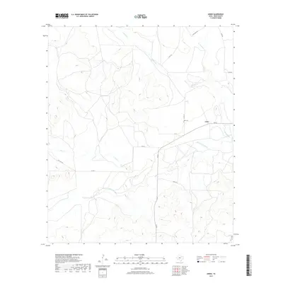
2022 Barnhart
Irion County, TX
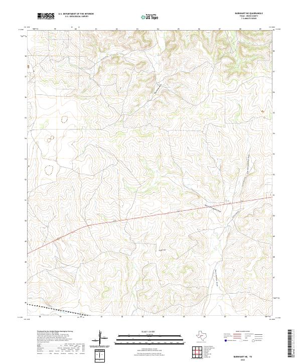
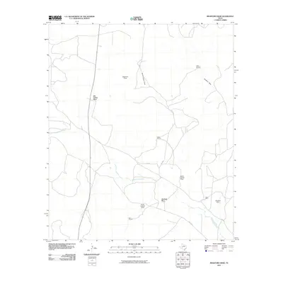
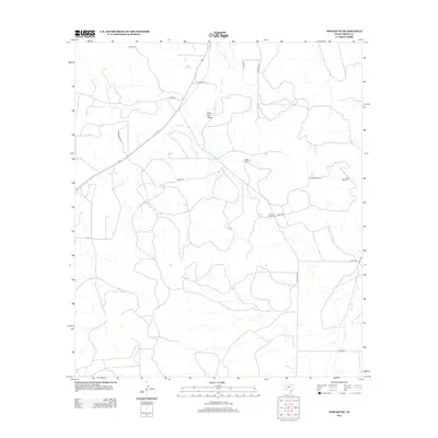
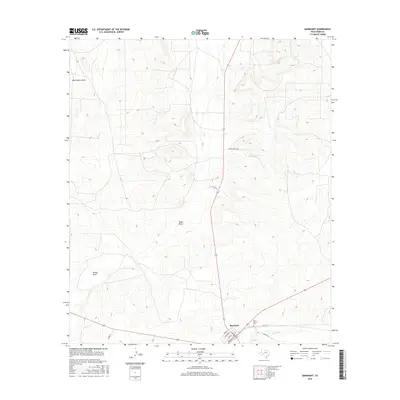
2022 Barnhart NE
Irion County, TX
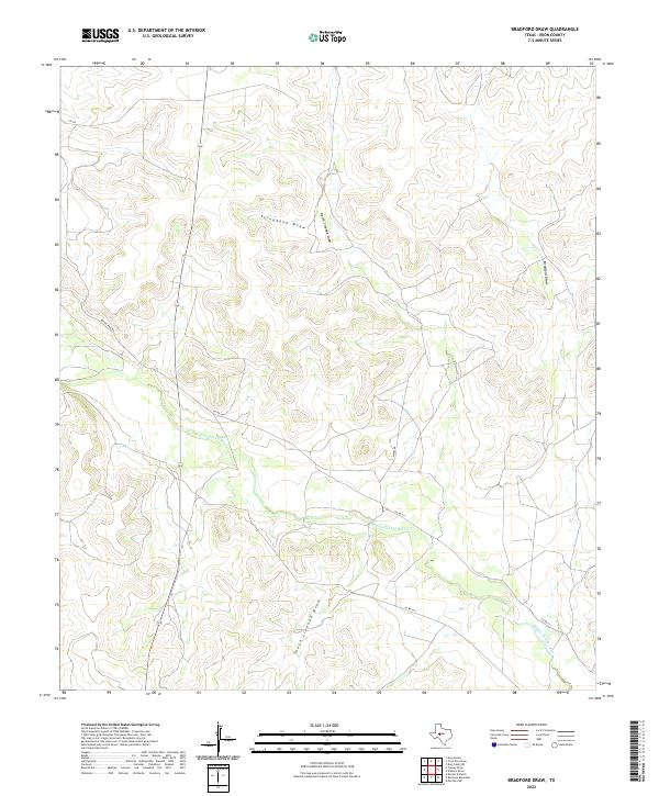
2022 Bradford Draw
Irion County, TX
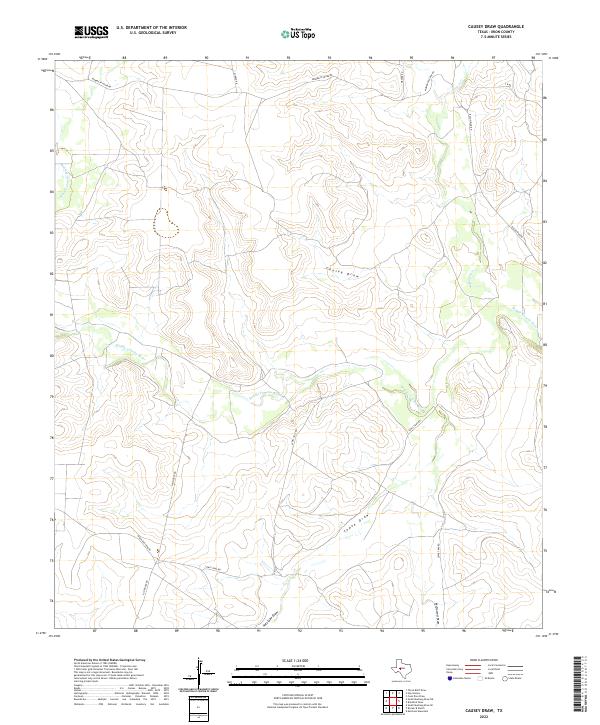
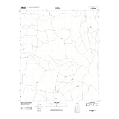
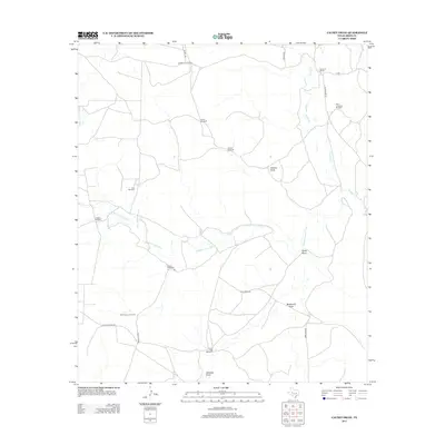
2022 Causey Draw
Irion County, TX
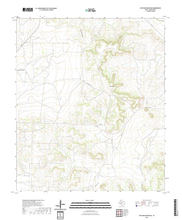
2022 Ketchum Mountain
Irion County, TX
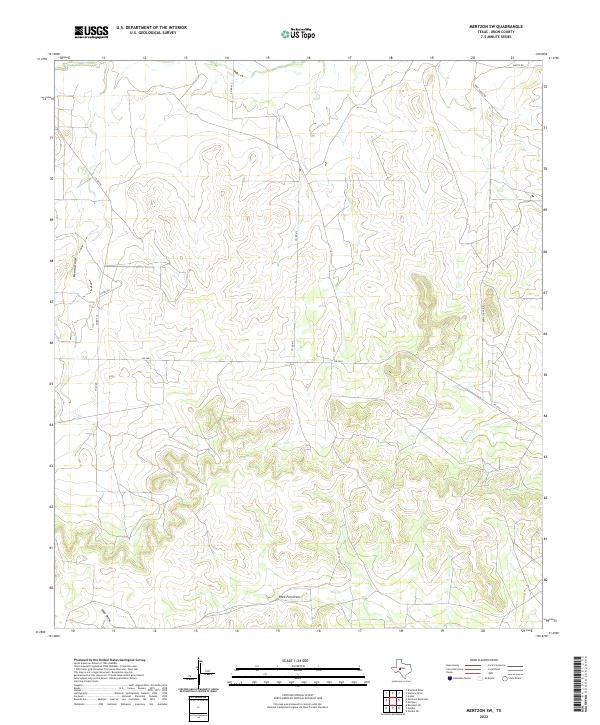
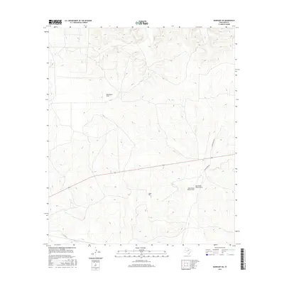
2022 Mertzon SW
Irion County, TX
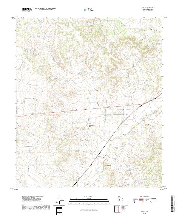
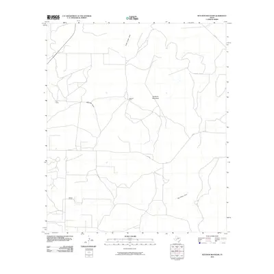
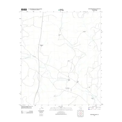
2022 Noelke
Irion County, TX
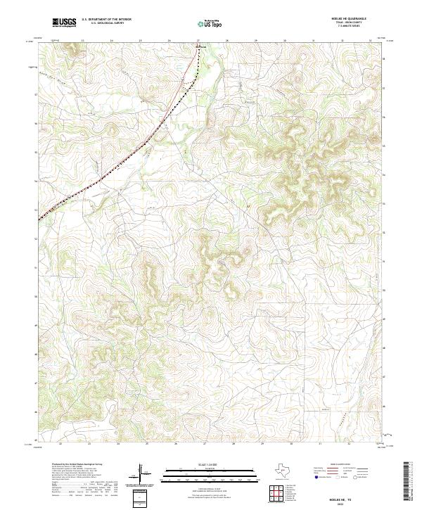
2022 Noelke NE
Irion County, TX
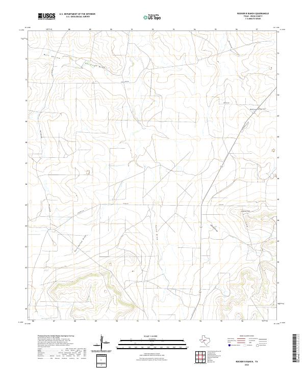
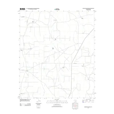
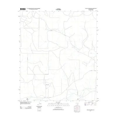
2022 Rocker B Ranch
Irion County, TX
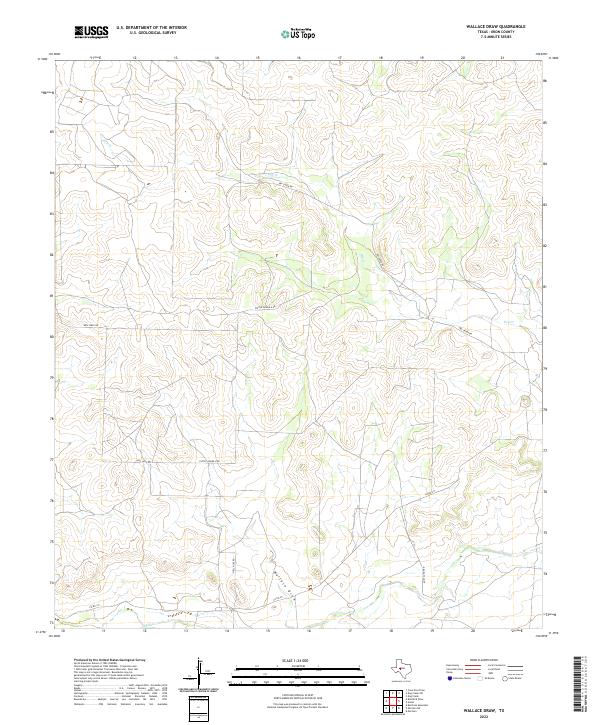
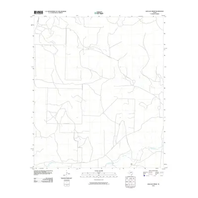
2022 Wallace Draw
Irion County, TX