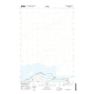
2016 Map of Barnhart Island
USGS Topo · Published 2016About this map
Barnhart Island sits at the international boundary between the United States and Canada, forming a significant landmass within the flow of the St. Lawrence River. This 2016 survey details the northernmost reaches of New York where Franklin County meets the water. The island is defined by its recreational and transit infrastructure, including Barnhart Island Beach and the southern access provided by Barnhart Island Rd.
Find a feature on this map
9 named features on this map. Tap any name to fly to it.
Don’t see what you’re looking for? This feature index may not catch every label — zoom into the map to look around manually.
Map Details
Editions of this 2016 Barnhart Island Map
This is the sole edition of this map. No revisions or reprints were ever made.
Other maps of this area

1906 · Massena
USGS Topo · 1:62,500

1907 · Massena
USGS Topo · 1:62,500

1915 · Moira
USGS Topo · 1:62,500

1917 · Moira
USGS Topo · 1:62,500

1942 · Barnhart Island
USGS Topo · 1:24,000

1942 · Massena
USGS Topo · 1:24,000

1943 · Barnhart Island
USGS Topo · 1:31,680
1943 · Massena
USGS Topo · 1:31,680

1944 · Moira
USGS Topo · 1:62,500
1946 · Raquette River
USGS Topo · 1:24,000