
1943 Map of Barnhart Island
USGS Topo · Published 1943About this map
Barnhart Island and the turbulent Long Sault Rapids define the international boundary landscape in the mid-1940s, shortly before massive mid-century power projects fundamentally altered the St Lawrence River. On the Ontario side, several small settlements and landmarks like Moulinette, Milles Roches, and Ault Park line the northern shore, connected by the Canadian National railway and the historic Old Canal system. This survey documents the complex network of islands, including Sheek Island and Cornwall Island, and the intricate river channels like Pollys Gut that dictated local navigation and border surveillance. On the American side in New York, an Aerial Tramway crosses to Barnhart Island near Massena Pt, highlighting the logistical efforts to connect the island’s interior, including the USLS 23 Barnhart Cem, with the mainland.
Find a feature on this map
40 named features on this map. Tap any name to fly to it.
Don’t see what you’re looking for? This feature index may not catch every label — zoom into the map to look around manually.
Map Details
Editions of this 1943 Barnhart Island Map
This is the sole edition of this map. No revisions or reprints were ever made.
Other maps of this area

1906 · Massena
USGS Topo · 1:62,500

1907 · Massena
USGS Topo · 1:62,500

1915 · Moira
USGS Topo · 1:62,500

1917 · Moira
USGS Topo · 1:62,500

1942 · Barnhart Island
USGS Topo · 1:24,000

1942 · Massena
USGS Topo · 1:24,000
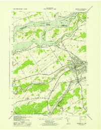
1943 · Massena
USGS Topo · 1:31,680

1944 · Moira
USGS Topo · 1:62,500
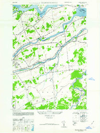
1946 · Raquette River
USGS Topo · 1:24,000

1948 · Ogdensburg
USGS Topo · 1:250,000