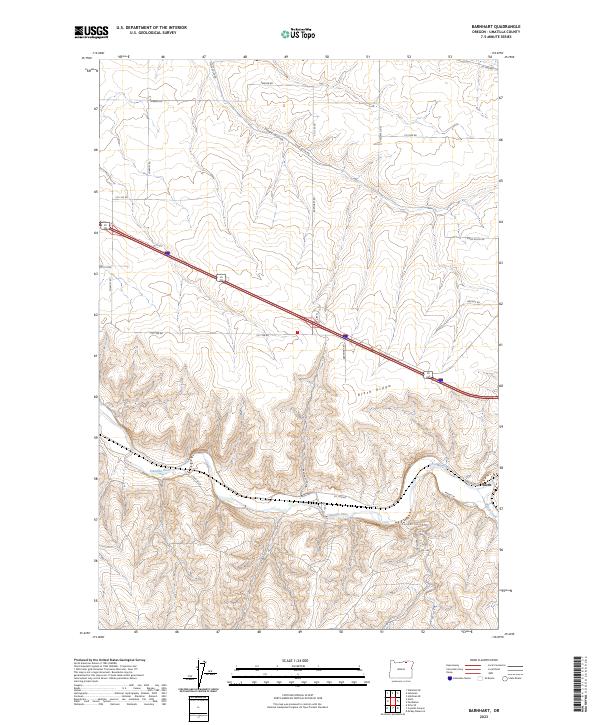
2023 Map of Barnhart
USGS Topo · Published 2023About this map
The Umatilla River valley defines this part of Umatilla County, where the settlement of Rieth sits at the confluence with Birch Creek. This 2023 survey illustrates the enduring relationship between the river's winding path and the transport corridors that follow its banks, such as Reith Rd and the rail-aligned L and W Ln. The terrain is characterized by the prominent elevation of Rieth Ridge and the deep incision of Coombs Canyon to the south.
Find a feature on this map
33 named features on this map. Tap any name to fly to it.
Don’t see what you’re looking for? This feature index may not catch every label — zoom into the map to look around manually.
Map Details
Editions of this 2023 Barnhart Map
This is the sole edition of this map. No revisions or reprints were ever made.
Other maps of this area

1908 · Umatilla
USGS Topo · 1:125,000

1935 · Pendleton
USGS Topo · 1:125,000

1953 · Pendleton
USGS Topo · 1:250,000

1956 · Pendleton
USGS Topo · 1:250,000

1962 · Stanfield SE
USGS Topo · 1:24,000

1966 · Mc Kay Reservoir
USGS Topo · 1:24,000

1966 · Holdman
USGS Topo · 1:24,000

1966 · Holdman SE
USGS Topo · 1:24,000

1966 · Pendleton
USGS Topo · 1:24,000
1966 · Barnhart
USGS Topo · 1:24,000