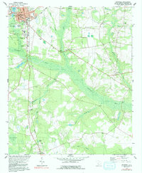
1979 Map of Barnwell
USGS Topo · Published 1991About this map
The Seaboard Coast Line and Southern railroads intersect at Barnwell, a regional hub defined by its civic institutions and the expansive wetlands of the Salkehatchie River. The landscape reveals a transition from the urbanized streets of the county seat—home to the Gunyard-Butler Middle Sch and the State Fish Hatchery—to the surrounding lowlands and agricultural tracts. A notable mid-century cultural marker, the Drive-In Theater, sits along the highway south of town, while the presence of Hagoods Mill on Toby Creek indicates the area's older water-powered industry. Numerous rural sanctuaries, including Mt Lebanon Ch and Green Branch Ch, are scattered throughout the countryside, serving as vital landmarks for genealogists tracing local family histories. The southern portion of the map is dominated by the town of Kline and the meandering Fiddle Pond Creek, illustrating the heavy influence of the river system on local settlement patterns.
Find a feature on this map
49 named features on this map. Tap any name to fly to it.
Don’t see what you’re looking for? This feature index may not catch every label — zoom into the map to look around manually.
Map Details
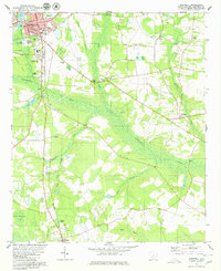
Editions of this 1979 Barnwell Map
2 editions found
Other maps of this area

1919 · Olar
USGS Topo · 1:62,500

1919 · Bamberg
USGS Topo · 1:48,000

1919 · Allendale
USGS Topo · 1:62,500

1920 · Bamberg
USGS Topo · 1:62,500

1923 · Williston
USGS Topo · 1:48,000

1927 · Williston
USGS Topo · 1:62,500

1943 · Olar
USGS Topo · 1:62,500

1943 · Allendale
USGS Topo · 1:62,500

1943 · Bamberg
USGS Topo · 1:62,500

1943 · Williston
USGS Topo · 1:62,500