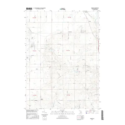
2017 Map of Baroda
USGS Topo · Published 2017About this map
Baroda and its surrounding Berrien County landscape are defined by a intricate network of drainage and water bodies, including the Saint Joseph River flowing through the northeast corner. This agricultural and rural residential area in southwest Michigan is marked by several small crossroad settlements such as Hinchman, Arden, and Glendora. The topography is shaped by various glacial kettle lakes and drainages, with Singer Lake, Boyle Lake, and Madron Lake anchoring the southern portion of the sheet. Numerous family and community cemeteries, such as Ruggles Cem and Hinman Cem, are scattered across the township, providing essential points of reference for genealogists tracing local families. The presence of Del Hickcox Airport west of Baroda reflects the region's mid-century aviation infrastructure, while the density of named roads like Crest Haven Blvd and E Lemon Creek Rd illustrates the late-twentieth-century development of this fruit-growing country.
Find a feature on this map
98 named features on this map. Tap any name to fly to it.
Don’t see what you’re looking for? This feature index may not catch every label — zoom into the map to look around manually.
Map Details
Editions of this 2017 Baroda Map
This is the sole edition of this map. No revisions or reprints were ever made.
Other maps of this area

1927 · Niles
USGS Topo · 1:62,500

1927 · Benton Harbor
USGS Topo · 1:62,500

1930 · Three Oaks
USGS Topo · 1:62,500

1930 · Benton Harbor
USGS Topo · 1:62,500

1930 · Niles
USGS Topo · 1:62,500

1943 · Niles
USGS Topo · 1:62,500

1944 · Three Oaks
USGS Topo · 1:62,500

1953 · Chicago
USGS Topo · 1:250,000

1957 · Chicago
USGS Topo · 1:250,000

1958 · Racine
USGS Topo · 1:250,000