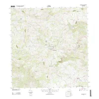
2024 Map of Barranquitas
USGS Topo · Published 2024About this map
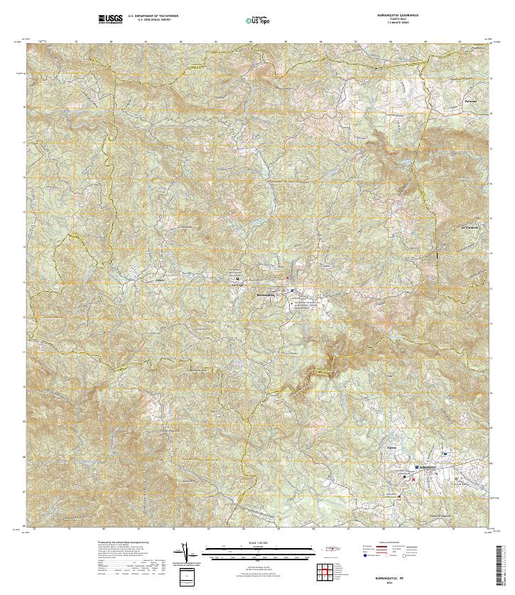
Barranquitas serves as a central hub in the high interior of Puerto Rico, where the town's urban center sits among the steep drainage basins of the Río de Barranquitas and Río Usabón. The landscape is dominated by the ridges of the Cordillera Central, including peaks like Cerro Farallón and the Montañas de Juan González. Educational and civic infrastructure is prominent, notably the Universidad Interamericana de Puerto Rico - Recinto de Barranquitas and the Tribunal de Barranquitas. To the south, the settlement of Aibonito marks the transition into a region defined by dramatic terrain features such as the Cañón de San Cristóbal. This modern survey details the dense network of municipal roads, including Carr 152 and Carr 723, which connect high-altitude neighborhoods like Palomas and La Guitarra to the traditional urban cores.
Find a feature on this map
60 named features on this map. Tap any name to fly to it.
Don’t see what you’re looking for? This feature index may not catch every label — zoom into the map to look around manually.
Map Details
Editions of this 2024 Barranquitas Map
This is the sole edition of this map. No revisions or reprints were ever made.
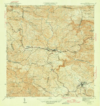
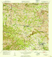
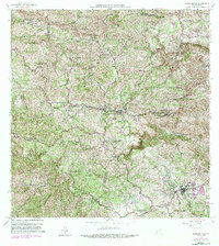
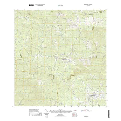
Historical Maps of Aibonito Through Time
6 maps found
Featured Locations
- Aibonito, Aibonito
- Barranquitas, Barranquitas
- Sector La Puntilla, Comerío
- La Guitarra, Comerío
- Sector Hayales de Barranquitas, Coamo