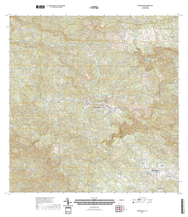
2024 Map of Barranquitas
USGS Topo · Published 2024This historical map portrays the area of Barranquitas in 2024, primarily covering Barranquitas Municipio as well as portions of Coamo Municipio, Corozal Municipio, Aibonito Municipio, Comerío Municipio, Naranjito Municipio, and Orocovis Municipio. Featuring a scale of 1:20000, this map provides a highly detailed snapshot of the terrain, roads, buildings, counties, and historical landmarks in the Barranquitas region at the time. Published in 2024, it is the sole known edition of this map.
Find a feature on this map
60 named features on this map. Tap any name to fly to it.
Don’t see what you’re looking for? This feature index may not catch every label — zoom into the map to look around manually.
Map Details
Editions of this 2024 Barranquitas Map
This is the sole edition of this map. No revisions or reprints were ever made.
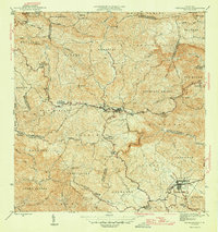
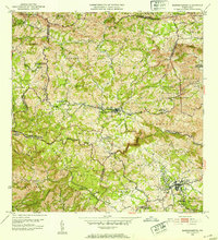
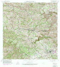
Historical Maps of Parcelas de Helechal Through Time
4 maps found
Featured Locations
- Aibonito, Aibonito
- Barranquitas, Barranquitas
- Sector La Puntilla, Comerío
- La Guitarra, Comerío
- Sector Hayales de Barranquitas, Coamo