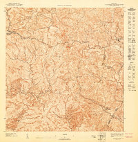
1947 Map of Barranquitas SO
USGS Topo · Published 1947About this map
Hacienda Córcega and the agricultural lands of south-central Puerto Rico are documented in this preliminary 1943 topography, published just after the war. The landscape is defined by the convergence of the Municipio de Barranquitas, Municipio de Coamo, and Municipio de Aibonito, where sharp elevation changes at Cerro Pulguillas and Cerro El Pico dictate the flow of numerous mountain streams. This survey highlights the rural educational infrastructure of the era, including the Escuela Segunda Unidad de Hayales and the Escuela Segunda Unidad de Helechal, which served as anchors for the dispersed farming communities. A dense network of quebradas, including Quebrada Hayales and Quebrada Toíta, carves through the interior, illustrating the complex drainage patterns that influenced local land use and transportation routes before mid-century modernization.
Find a feature on this map
15 named features on this map. Tap any name to fly to it.
Don’t see what you’re looking for? This feature index may not catch every label — zoom into the map to look around manually.
Map Details
Editions of this 1947 Barranquitas SO Map
This is the sole edition of this map. No revisions or reprints were ever made.
Other maps of this area

1945 · Rio Descalabrado
USGS Topo · 1:30,000

1946 · Coamo
USGS Topo · 1:30,000

1946 · Barranquitas
USGS Topo · 1:30,000

1946 · Orocovis
USGS Topo · 1:30,000
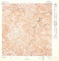
1947 · Orocovis NE
USGS Topo · 1:10,000
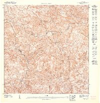
1947 · Orocovis SE
USGS Topo · 1:10,000
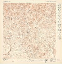
1947 · Rio Descalabrado NE
USGS Topo · 1:10,000
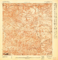
1947 · Barranquitas NE
USGS Topo · 1:10,000
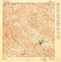
1947 · Barranquitas SE
USGS Topo · 1:10,000
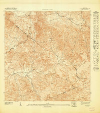
1947 · Coamo NE
USGS Topo · 1:10,000
Featured Places
- Parcelas de Helechal, Barranquitas
- Sector Hayales de Barranquitas, Coamo
- Sector La Hoya, Barranquitas
- Sector La Tiza, Barranquitas
- Parcelas de Palo Hincado, Barranquitas