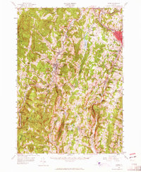
1957 Map of Barre
USGS Topo · Published 1965About this map
Norwich University stands at the heart of Northfield, anchoring a valley landscape defined by the Central Vermont railroad and the Dog River. This mid-century survey captures the industrial and educational core of Washington County, where the granite economy is signaled by numerous quarries near Barre and South Barre. The terrain is characterized by a high concentration of institutional landmarks, from the Montpelier-Barre Airport on the plateau near Berlin to the State Fish Hatchery south of Roxbury.
Find a feature on this map
106 named features on this map. Tap any name to fly to it.
Don’t see what you’re looking for? This feature index may not catch every label — zoom into the map to look around manually.
Map Details
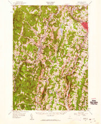
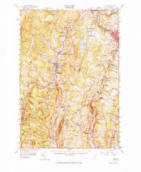
Editions of this 1957 Barre Map
3 editions found
Other maps of this area

1896 · Strafford
USGS Topo · 1:62,500

1915 · Rochester
USGS Topo · 1:62,500

1917 · Rochester
USGS Topo · 1:62,500

1919 · Royalton
USGS Topo · 1:62,500

1919 · Lincoln Mountain
USGS Topo · 1:62,500

1919 · Montpelier
USGS Topo · 1:62,500

1920 · Lincoln Mountain
USGS Topo · 1:48,000

1921 · Richmond
USGS Topo · 1:48,000

1921 · Lincoln Mountain
USGS Topo · 1:62,500

1921 · Montpelier
USGS Topo · 1:62,500